UWIS dive: Wreck dive Gribshunden
UWIS as part of excavation of the wreck Gribshunden (Ronneby, Sweden)
Mission: Support divers in navigating above the wreck, marking new findings, and recording dive data for future use and reporting.
Watch the video here:
UWIS Gribshunden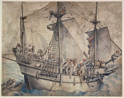
The wreck of Gribshunden, a Danish warship belonging to King Hans, sank in 1495 after catching fire while anchored near Stora Ekön island.
Over 500 years later, a multinational research team has been excavating the wreck, cleaning its remains, and searching for new artifacts. The goal is to gather enough information to support a larger museum project dedicated to the ship and its history.
UWIS technology was introduced at a stage when the wreck had already been documented with a 3D and hand-drawn visualization.
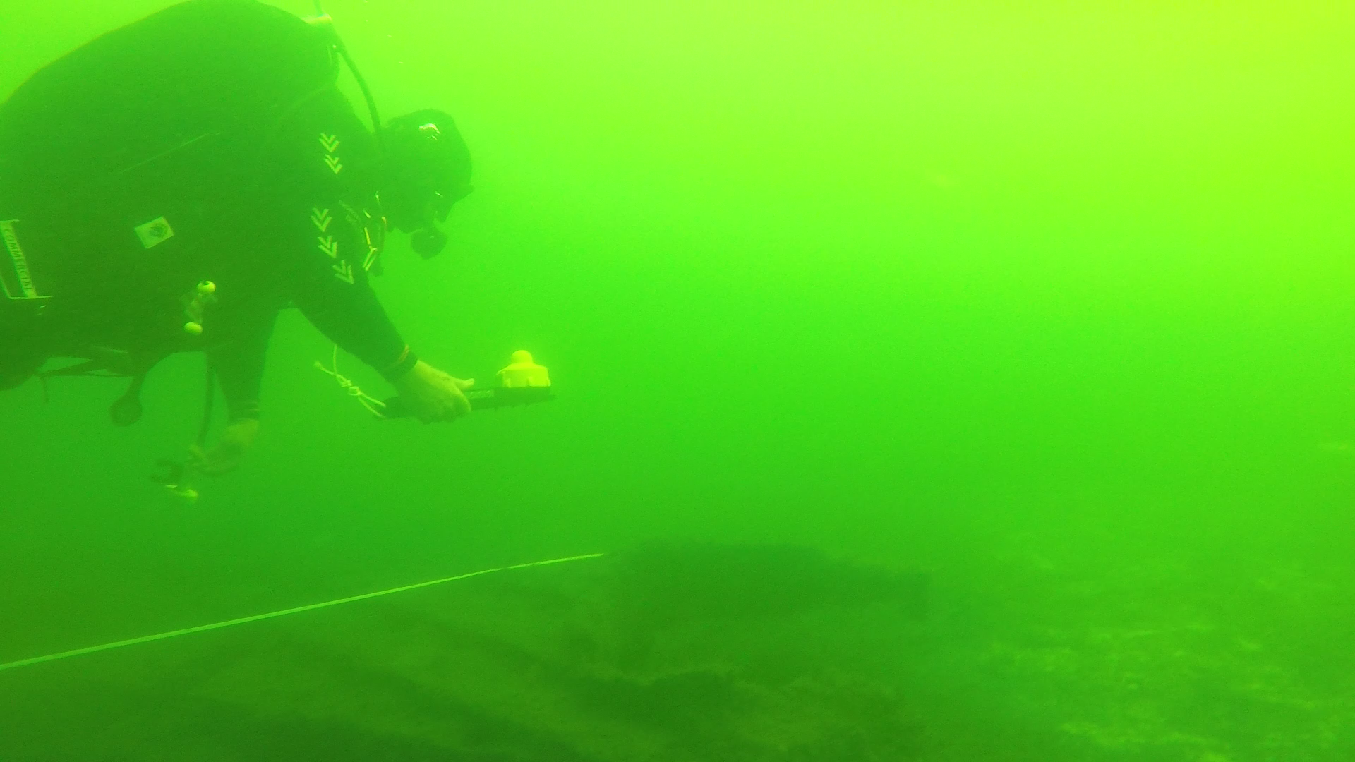
Conditions:
- Water temperature: ~18°C
- Visibility: ~6 meters
- Maximum depth: ~10 meters
The dive data and communication features provided by UWIS were utilized with the Valtamer Navigator for UWIS software on the Alltab underwater tablet. This program allows divers to navigate using a geo-referenced image overlay as a background.
The images below demonstrate the use of three different overlays before diving:
- A hand-drawn sketch of the wreck.
- A sonar-generated image.
- A photogrammetric orthoimage.
 Overlay: drawing
 Overlay: multibeam
 Overlay: 3D model orthoimage
Using the Alltab underwater tablet, divers could view their own position and direction relative to the wreck, as well as see the locations of other divers, marked destinations, and incoming messages. Divers could also mark new points of interest and communicate with both the surface team and other divers.
The Alltab tablet is designed for underwater use at depths of up to 150 meters, matching the operational range of UWIS diver units. The tablet can be handheld or attached to equipment such as underwater scooters. The UWIS diver unit communicates with surface buoys to provide precise spatial positioning and messaging capabilities.
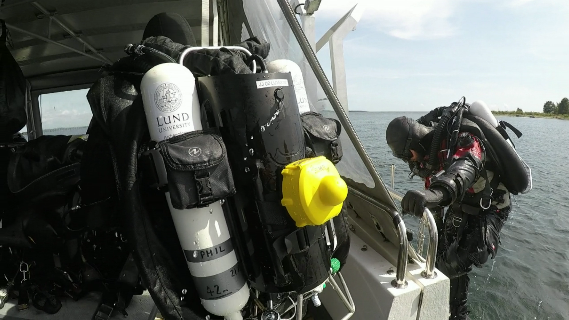
UWIS diver unit mounted for tracking during the Gribshunden excavation.
At the site, three divers were tracked simultaneously using UWIS. Typically, the UWIS diver unit is attached to the diver's back for surface-based tracking, though it can also be paired with display devices like the Alltab for underwater navigation.
UWIS devices, combined with PCs running UWIS Tracker software, logged all dive-related data. This information was saved in KML, GeoJSON, or NMEA formats for post-dive analysis and reporting. Below are screenshots from Google Earth Pro showing the dive routes recorded during the first two days, with geo-referenced layers overlaid on the map.
Example Dive Data:
- Day 1: Single diver marking points of interest.
- Day 2: Three divers navigating and marking sites while adhering to safety lines around the wreck.
The GPS accuracy and overlay alignment during these dives were within a margin of approximately three meters, consistent with standard GPS positioning. The slight offset may have been influenced by the overlay image alignment.
Conclusion
UWIS proved invaluable in aiding the divers at the Gribshunden site, enabling precise navigation, effective communication, and accurate logging of dive data. This integration of advanced technology with underwater archaeology highlights its potential for future excavation and research projects.
 day1. Single diver
 day2. Three divers