UWIS dive: Photogrammetry
UWIS participates in a wreck photogrammetry dive trip in the Baltic Sea, Finland
Mission: UWIS was invited to assist in 3D modeling efforts requested by the Åland Maritime Museum for a wreck that has been found but remains unidentified. The project also aimed to explore how position data provided by UWIS could enhance photogrammetry processes.
Watch the video here:
UWIS Photogrammetry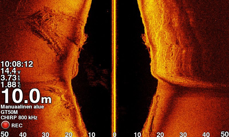
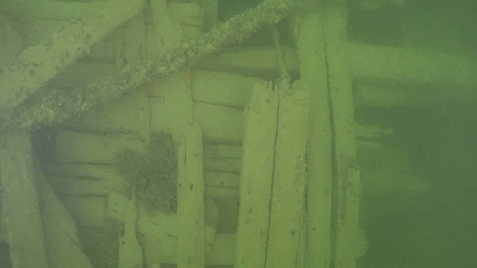
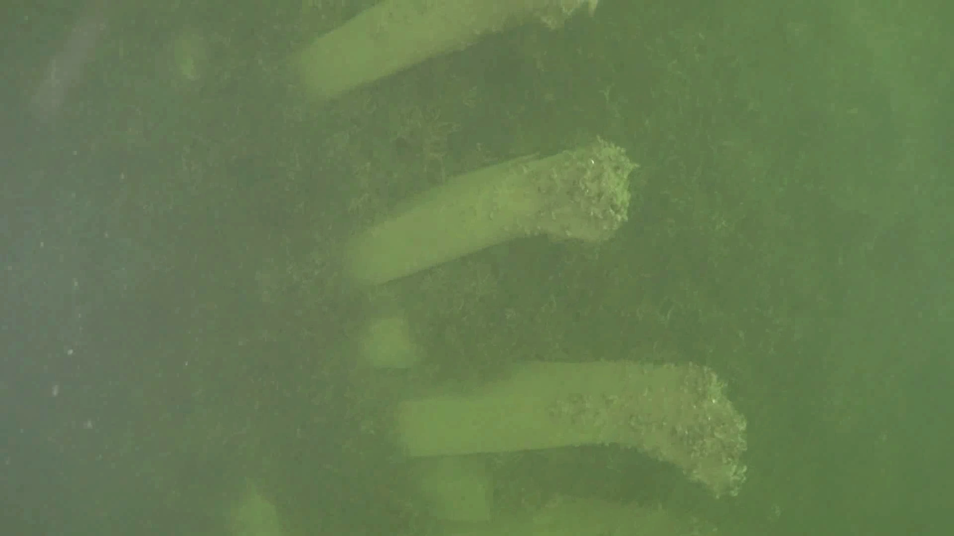
The "wreck of Signilskär" has been known for years, but its fragmented structure and the vast wreck site complicate identification. With typical underwater visibility of just 6 meters, divers cannot view the entire site at once.
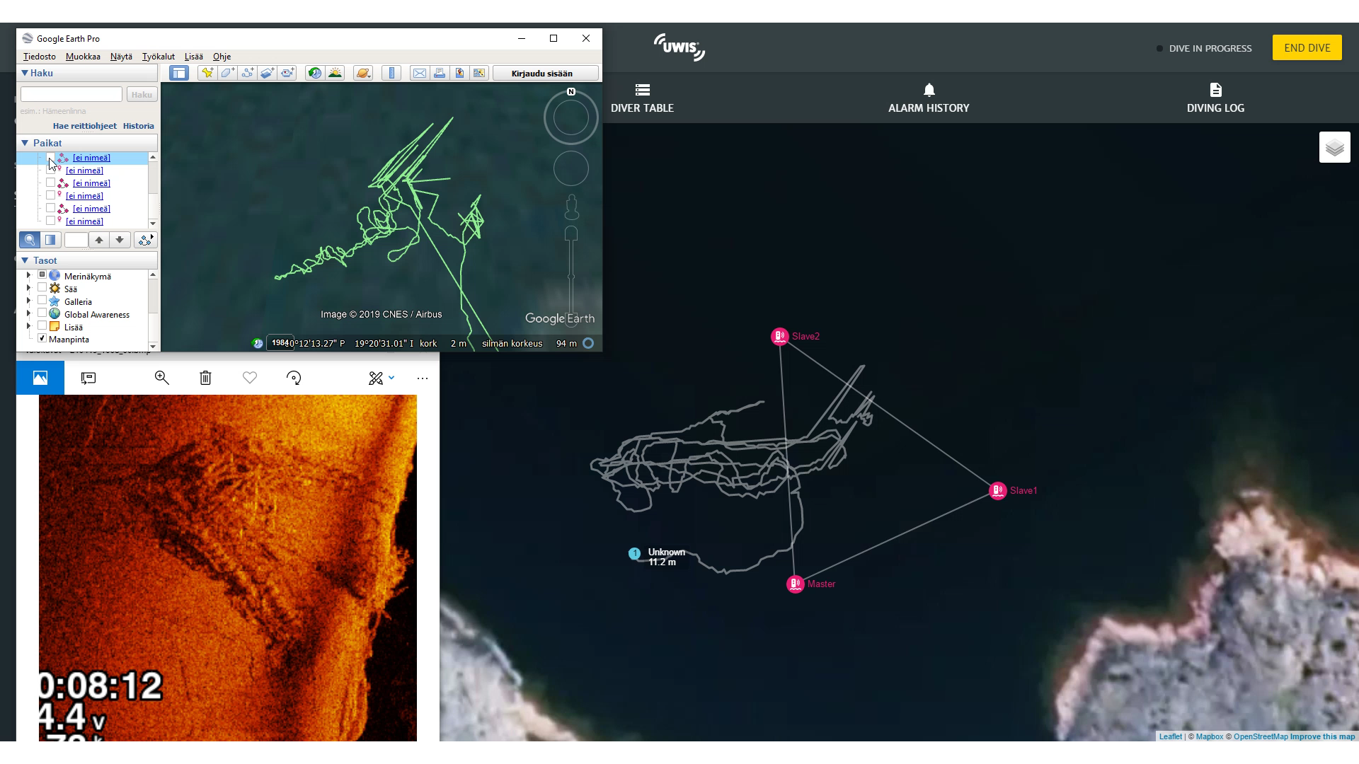
A 3D model created through photogrammetry offers researchers an effective tool for studying and potentially identifying the wreck. Below is a side scan sonar image of the site.
Conditions:
- Water temperature: ~4°C
- Visibility: ~6 meters
- Maximum depth: ~16 meters
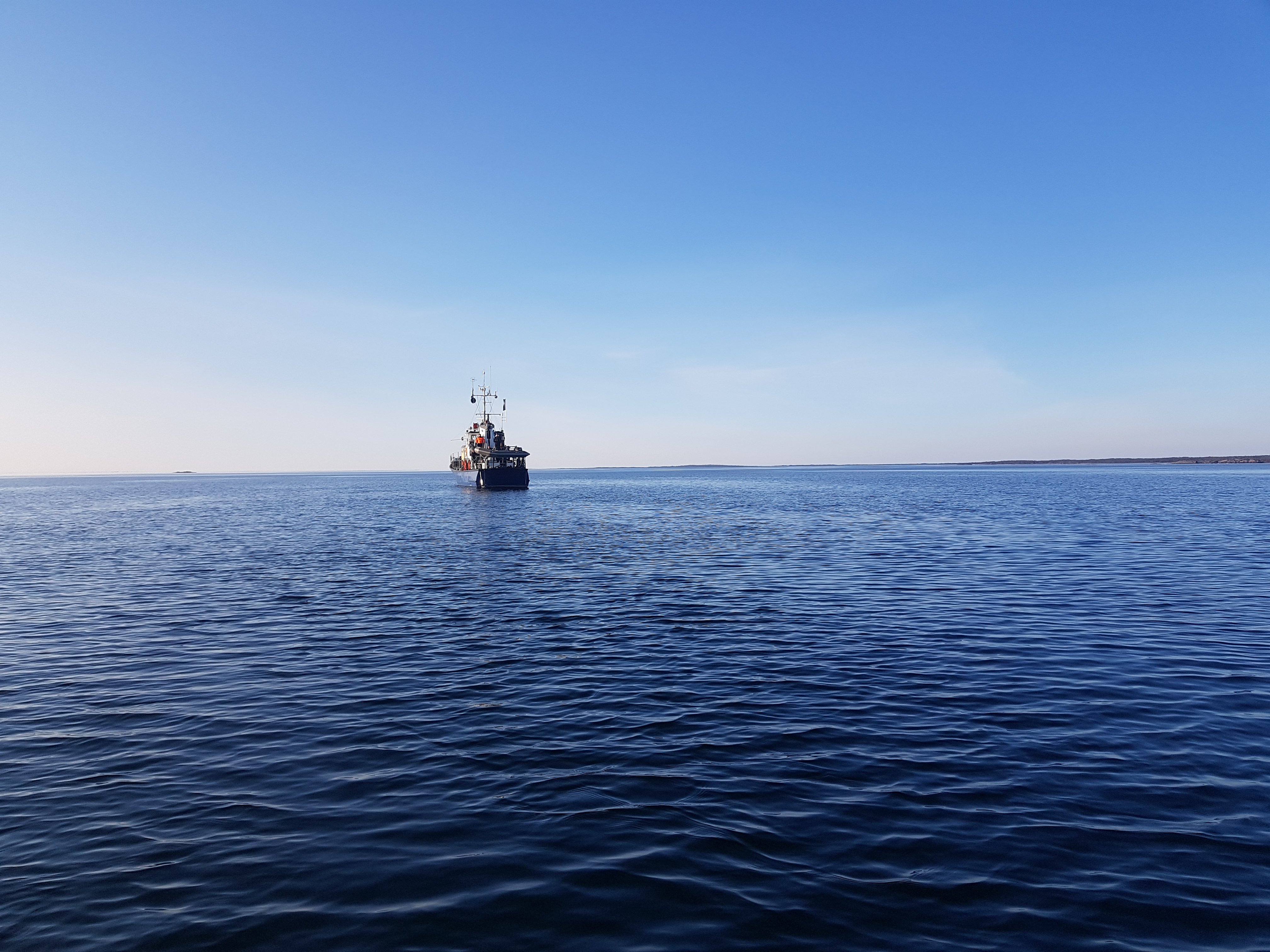
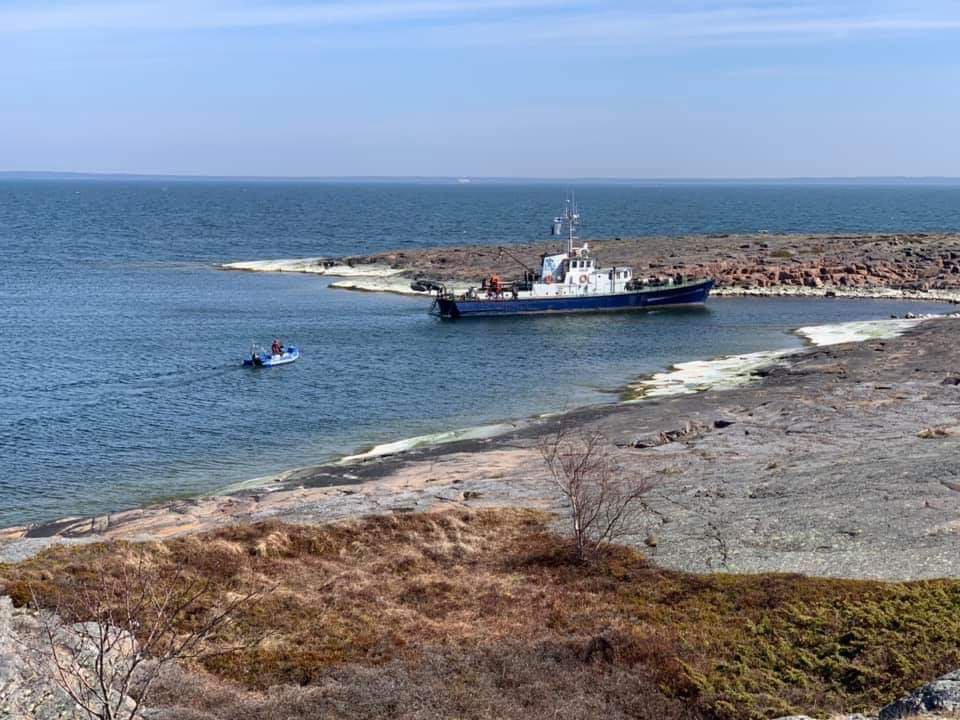
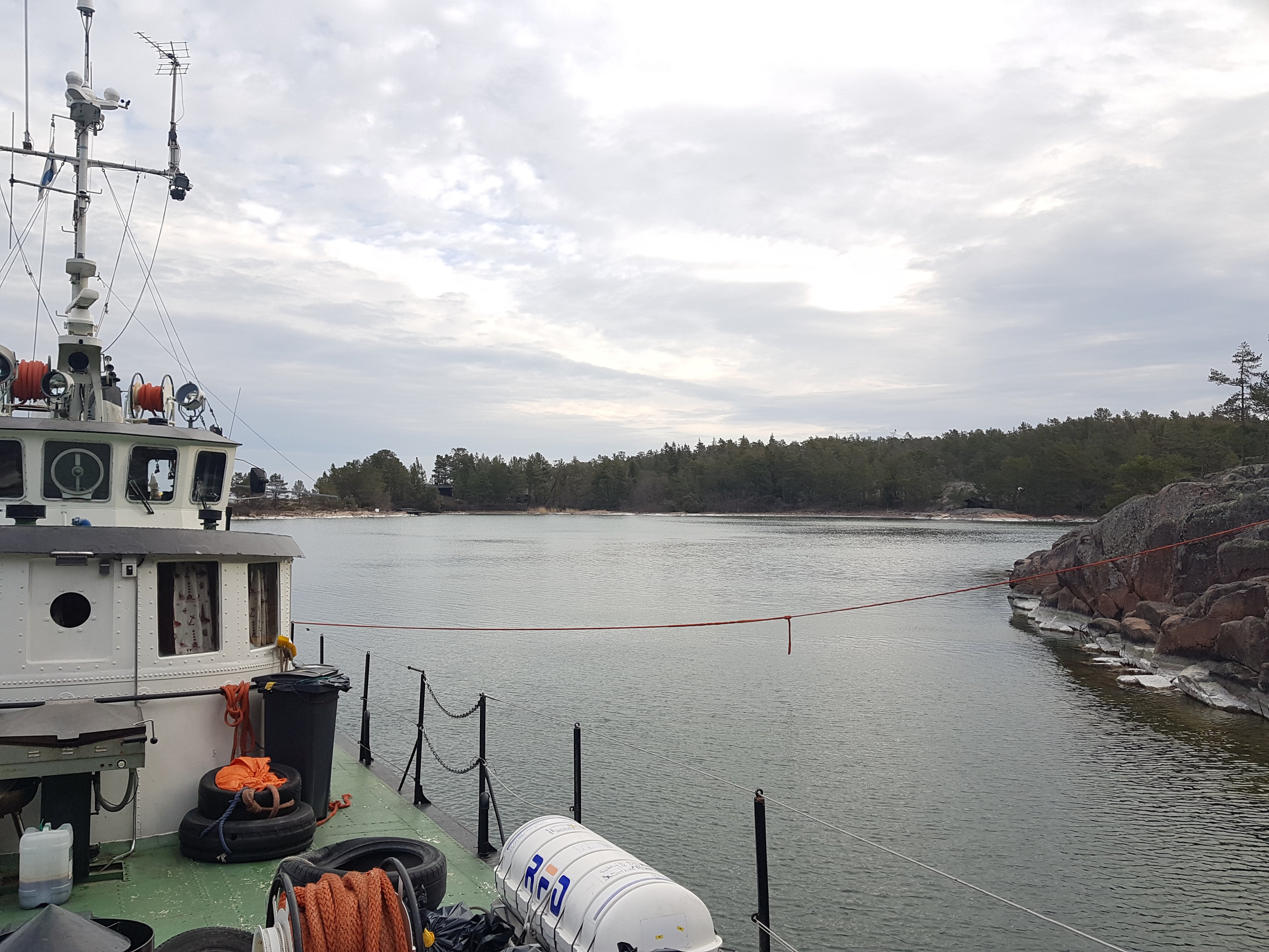
The four-day dive trip was organized by Nautic Club Urheilusukeltajat ry., a local wreck diving club. The club’s vessel Tavi served as the dive platform, ideally suited for such expeditions. During the trip, divers explored four wrecks, with the wreck north of Signilskär being the only unidentified one.
The UWIS system tracked diver locations during the imaging dives, ensuring all critical areas were covered.
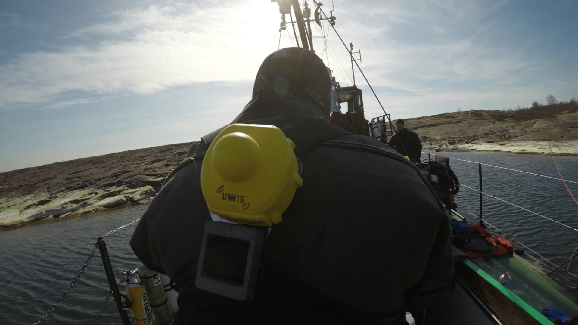
A UWIS diver unit was mounted on the cameraman’s back, recording his movements every two seconds. Over two and a half hours of recording time, two pairs of divers completed three dive sessions.
Prior to the imaging dives, markers were placed at key locations on the wreck to aid photogrammetry. After filming, these markers were collected. The entire team worked efficiently, completing the dives by morning.
UWIS Tracker software was used aboard Tavi to monitor dives in real time. An external antenna strengthened the UWIS system’s WiFi network, allowing monitoring from up to 1 km away. For this dive, the distance was approximately 60 meters.
Three synchronized views were displayed on Tavi’s monitoring system:
- Side scan sonar image of the wreck.
- Dive routes from previous sessions.
- Real-time location data from UWIS Tracker.
This setup ensured that the most important sections of the wreck were thoroughly filmed.
During filming, video footage captured two images per second, producing approximately 9,000 images in total. Given the wreck's size, complexity, and poor visibility, this volume of data would have been overwhelming for most modeling software without the positional data provided by UWIS.
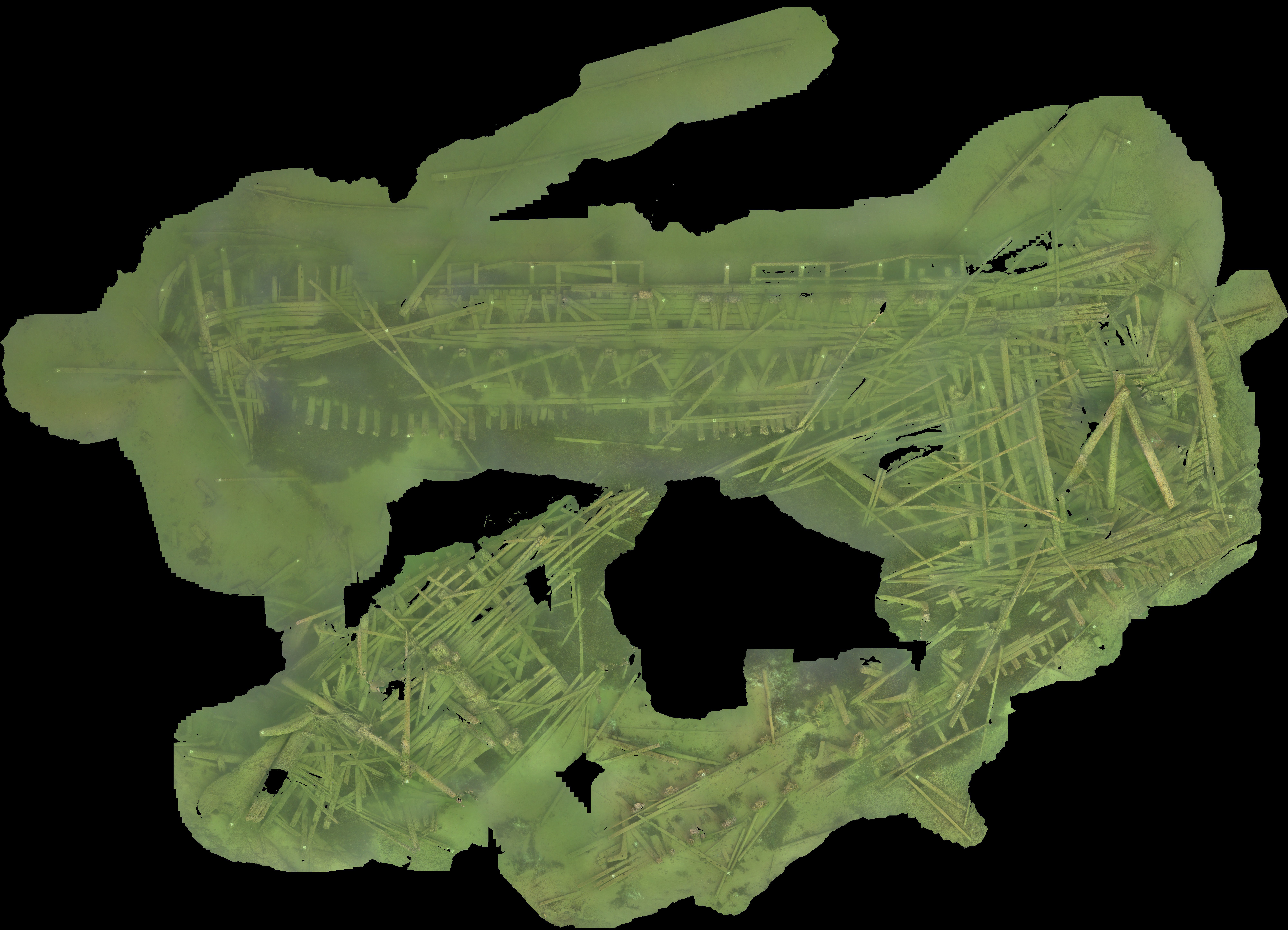
After the dive, location data was merged with the images. The wreck diving club’s 3D modeling experts used Agisoft Metashape to process the data, creating a mesh model and eventually a detailed 3D model with surface textures. The resulting 2D orthoimage extracted from the model can be used as a map overlay for underwater navigation.
Image Captions:
- Excel file used to associate location data with images.
- Position data imported into Metashape.
- Dive routes visualized on the orthoimage.
") Excel data (CSV)
Excel data (CSV)
 Metashape positions
 orhoimage & dive tracks
The final product was a stunning 3D model complemented by a high-resolution orthoimage. This technique, enabled by UWIS, offers valuable applications in marine archaeology and biology, provided the subject remains stationary during imaging.
Benefits of UWIS in Photogrammetry:
- Accurate positional data for each image.
- Enhanced efficiency in modeling large areas with affordable hardware.
UWIS technology demonstrated its capability to make large-scale underwater 3D modeling both practical and cost-effective.