UWIS dive: Group dive under the ice cover
UWIS invites local divers to test group dive features. Location Taivassalo, Finland.
Mission: Combine enjoyable group diving with testing UWIS's group dive features. These included automatic alarms, messaging, waypoint control, and a new version of the Valtamer Navigator software, which displays the entire group on an underwater tablet. Additionally, UWIS was used to control a low-cost ROV as part of the testing.
Watch the video here:
UWIS group dive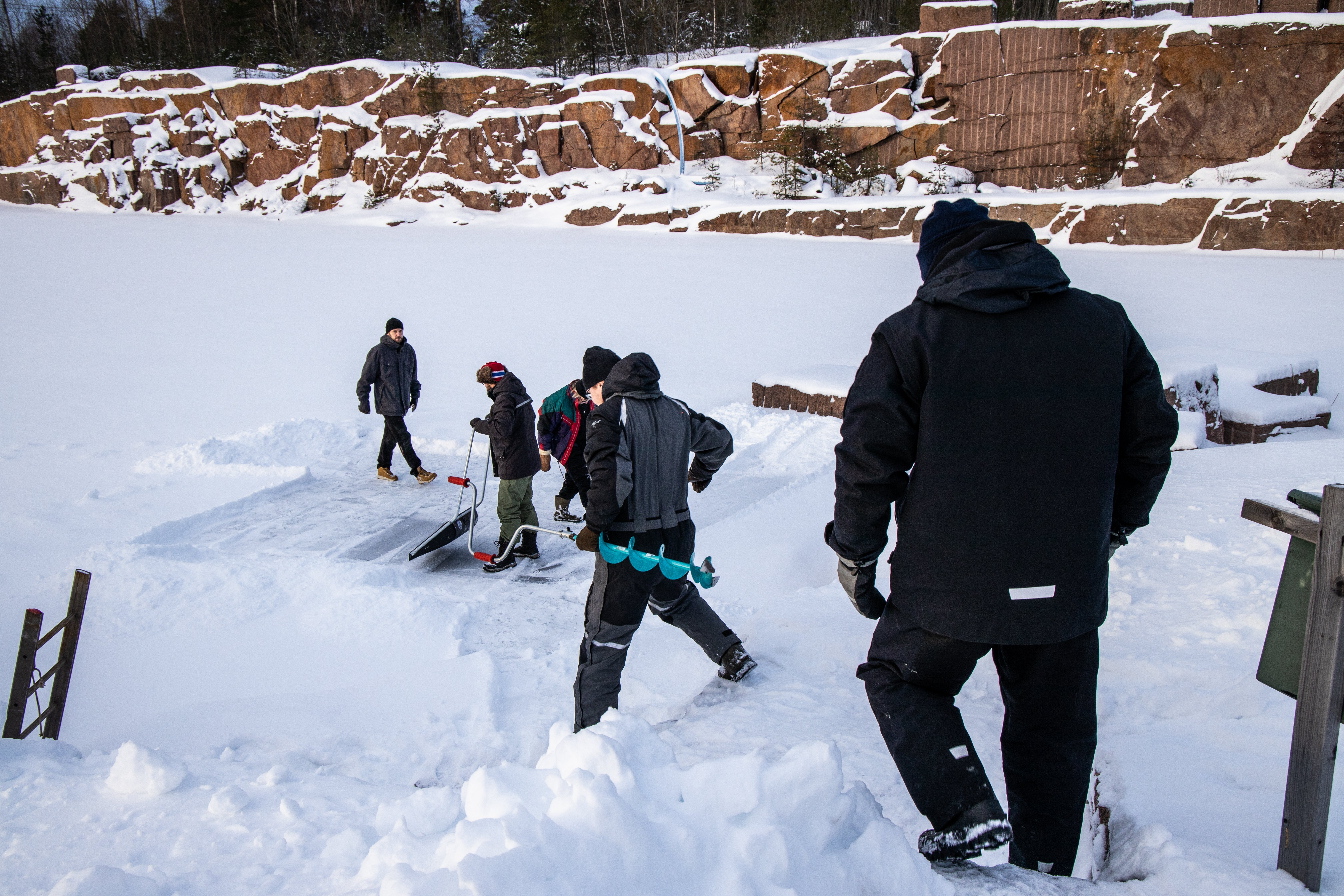
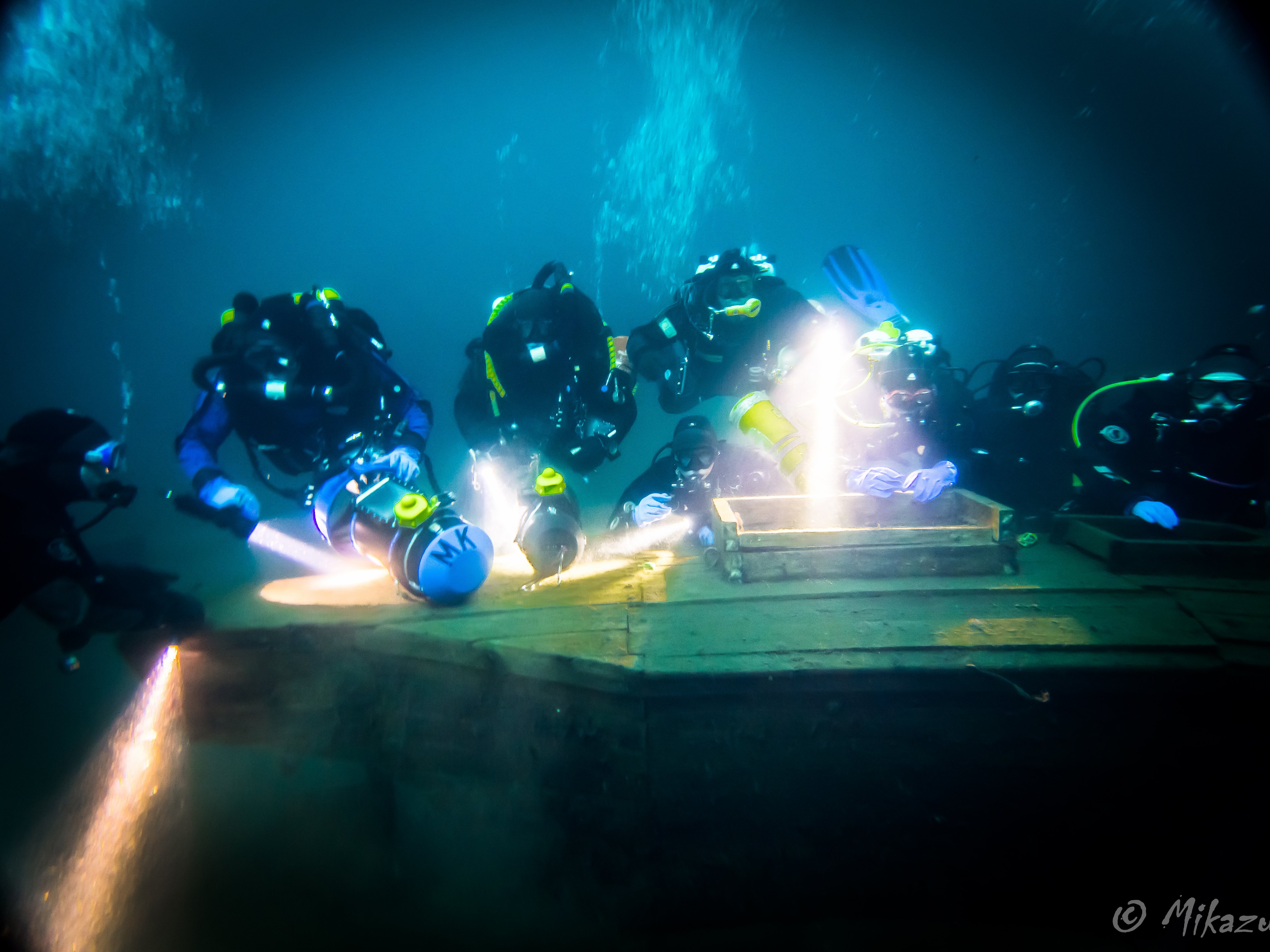
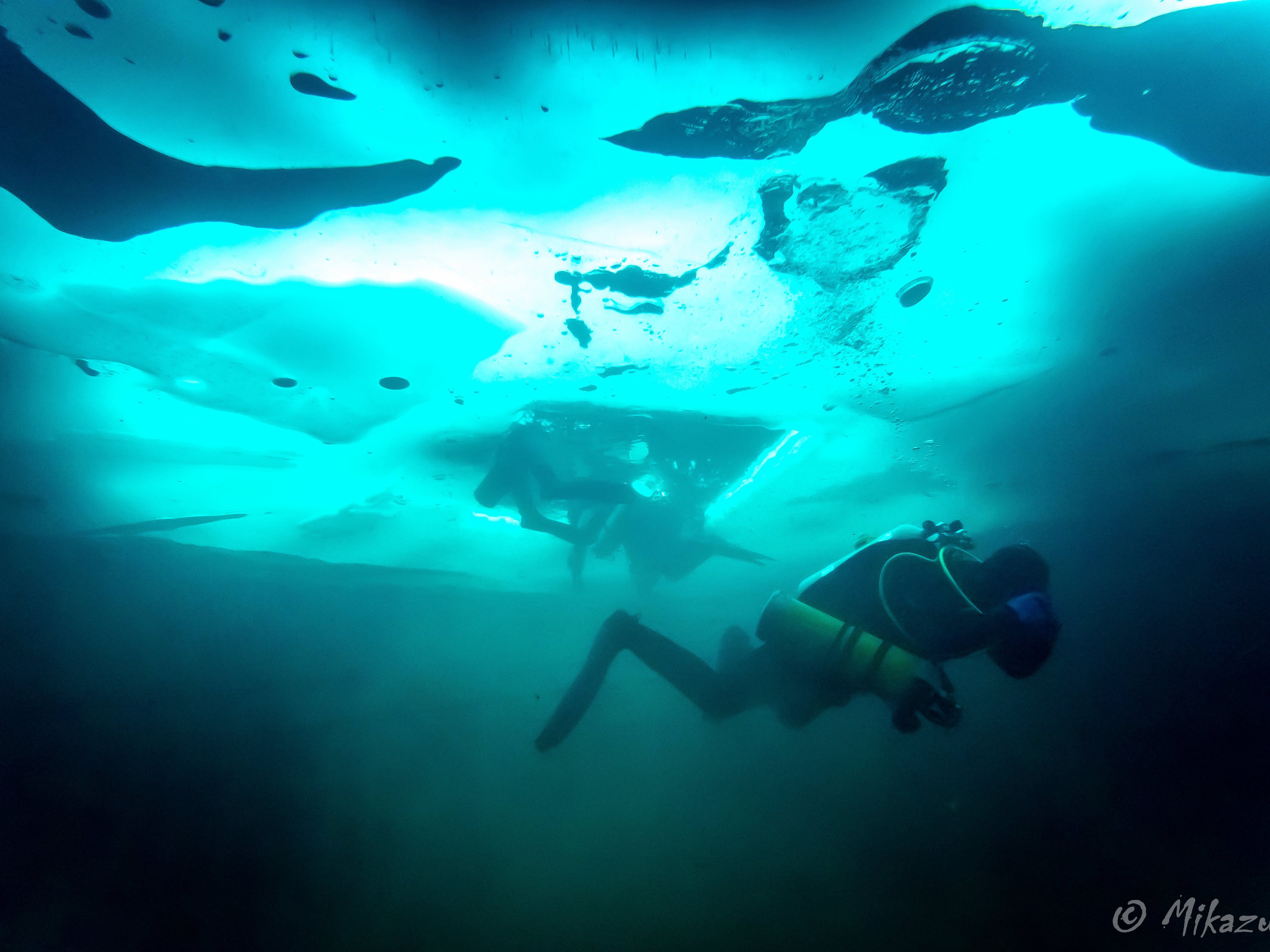
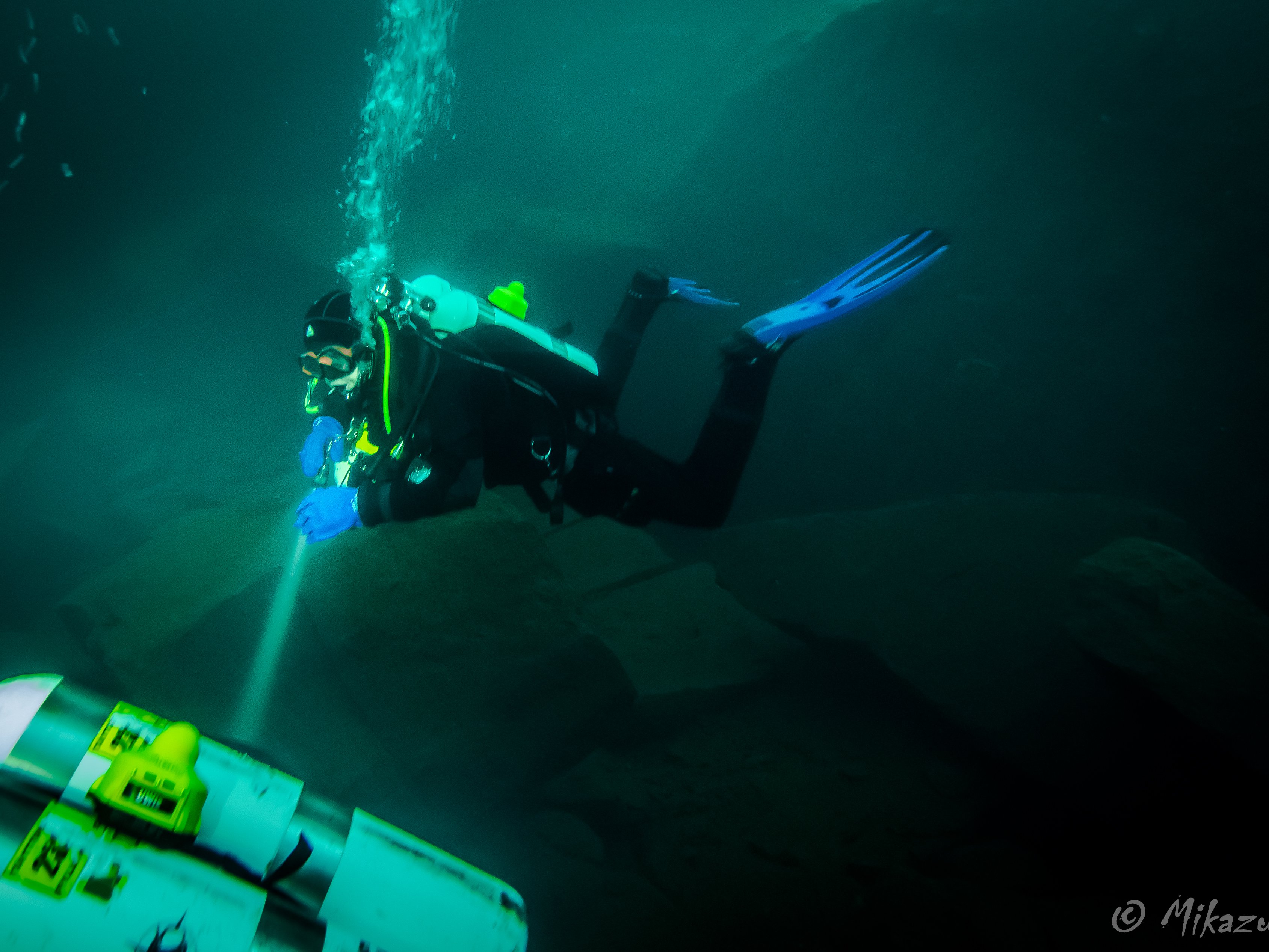
Diving under the ice in a familiar quarry, equipped with UWIS for enhanced navigation and communication.
The quarry is a well-known site among local divers, featuring safety lines and numerous underwater attractions. Despite UWIS enabling wireless underwater navigation, all divers adhered to traditional safety measures under the ice, ensuring the highest level of security.
Ice Conditions and Setup:
Three openings were made in the ice, and snow was cleared between them, allowing light to penetrate underwater. This significantly enhanced visibility and safety. The ice thickness was about 40 cm.
- Water temperature: ~2°C
- Visibility: ~15 meters
- Maximum depth: ~19 meters
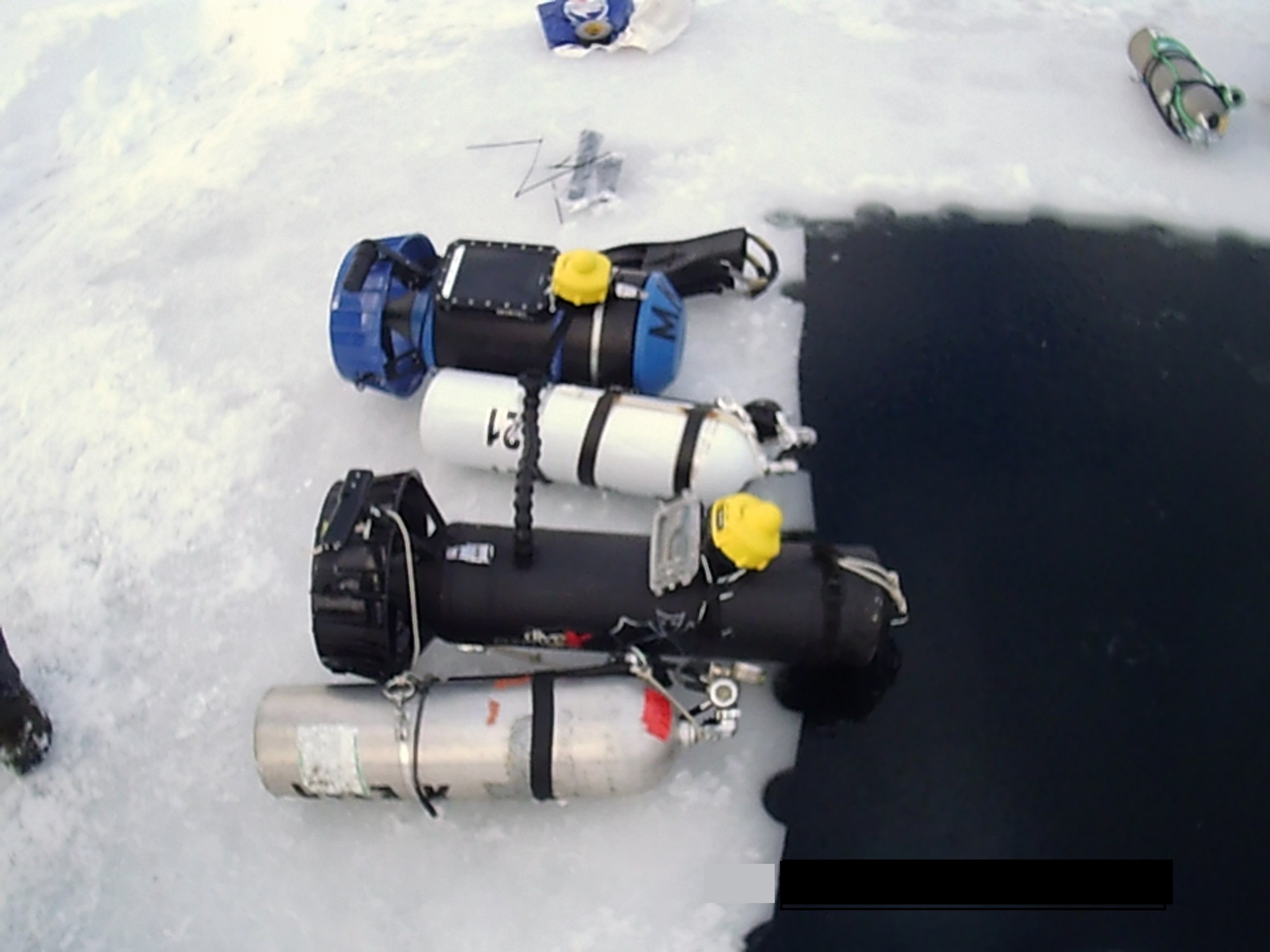
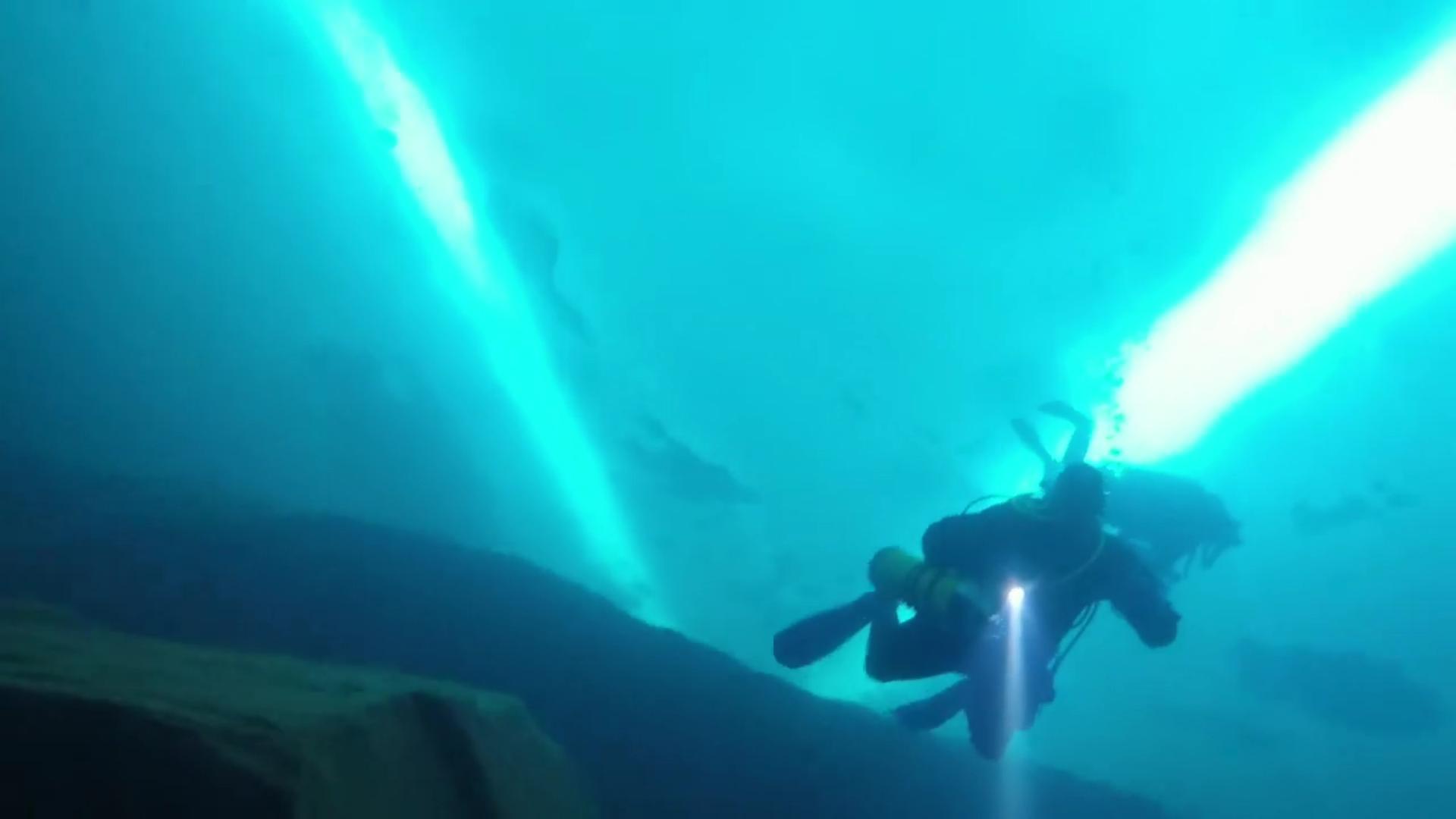
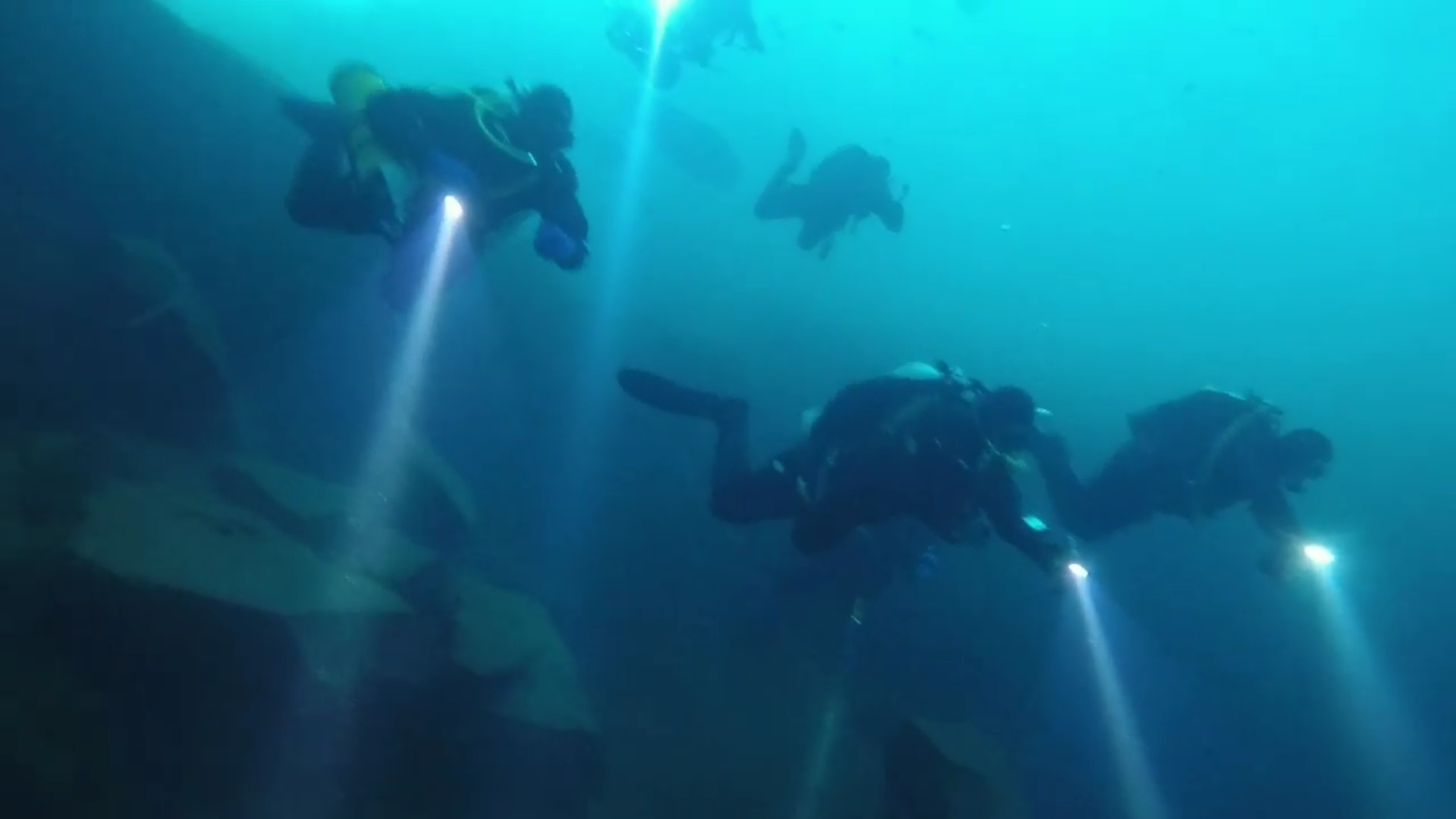
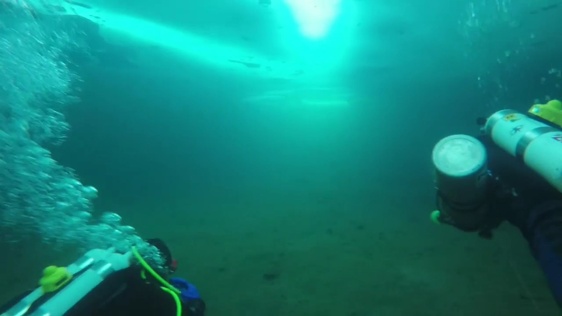
The images below highlight the setup of UWIS units and the camaraderie of group diving.
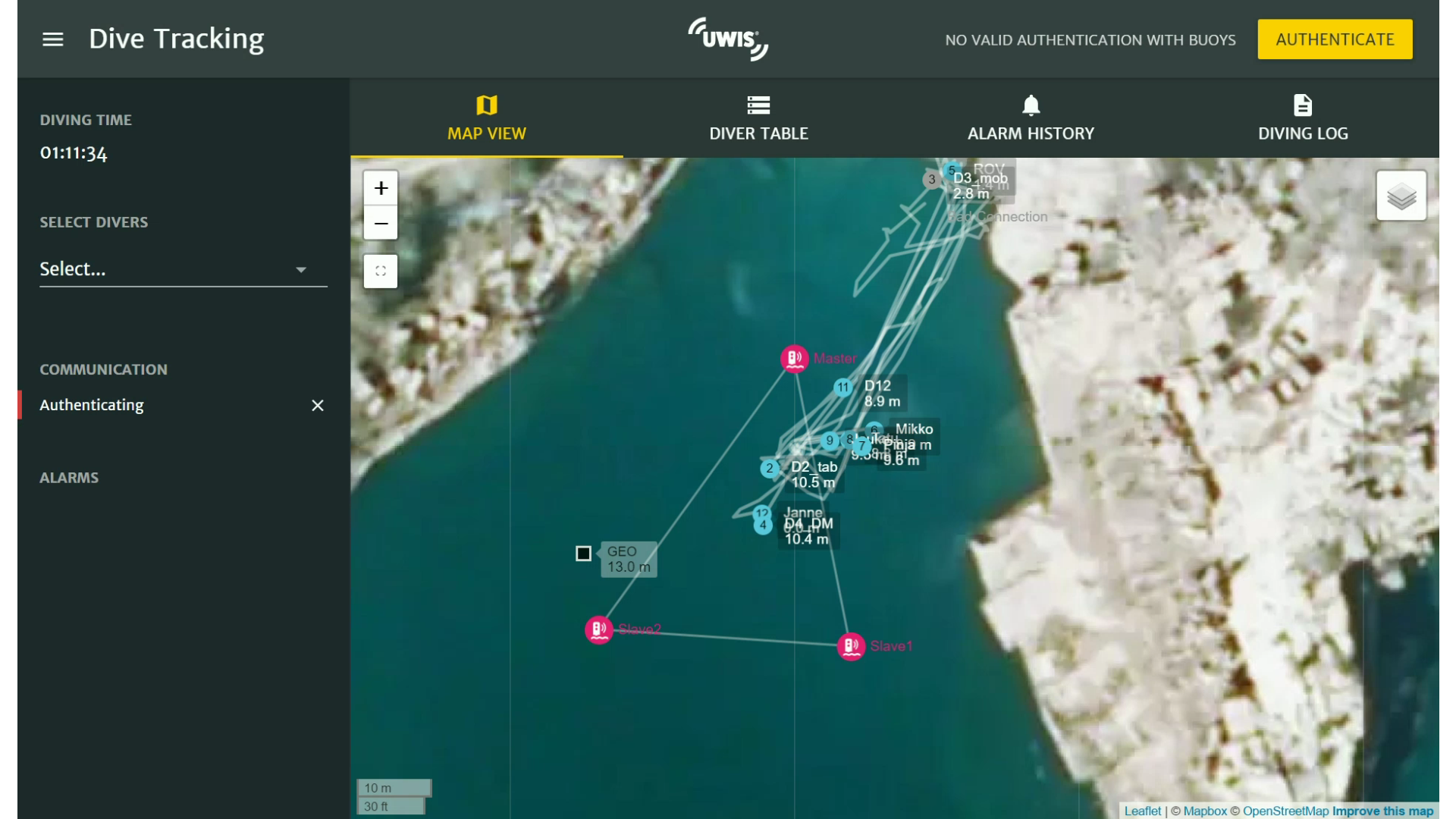
The UWIS Tracker software displayed real-time data for all divers, including alias names, depths, and route lines. When an alarm was triggered or a message was sent, the corresponding diver's marker flashed, and the alert appeared in the system's notification stack. Alarms required acknowledgment to clear from the interface.
The map view also showed the locations of UWIS buoys and a predefined waypoint labeled "GEO," marking an underwater geocache for divers to navigate to.
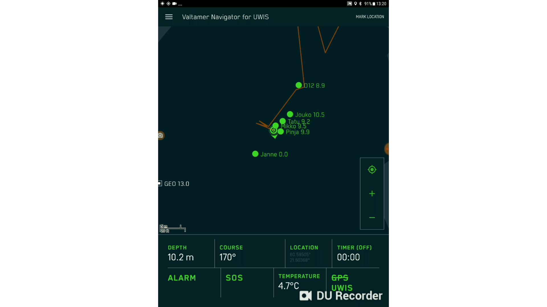
The divers used the Valtamer Navigator program on Alltab tablets for underwater navigation. Although overlays (such as drone photos, drawings, or maps) were not yet in use at the time, the program provided divers with essential data:
- Their own location, depth, coordinates, and water temperature.
- The locations, alias names, and depths of other divers.
- Messaging capabilities, including receiving and sending messages.
UWIS supported up to 100 stationary waypoints and 100 dynamic markers, which could be updated from the surface during the dive to indicate new targets.
The SOS alarm feature was tested to demonstrate its functionality. When a diver triggered the alarm:
- The diver received confirmation on the tablet that the alarm had been sent.
- The surface team saw the alarm on the UWIS Tracker, identifying the diver and their exact location.
The team then acted swiftly, positioning a buoy above the diver’s location, drilling through the ice with meter-level accuracy, and reaching the diver within two minutes.
") Underwater view (diver)
Underwater view (diver)
") Onshore view (PC)
Onshore view (PC)
Diving with a larger group is both safe and fun when using UWIS features.
The event concluded with a group photo to commemorate a successful and enjoyable day of diving.
Acknowledgments:
Special thanks to Mikko, Jukka, Pinja, Tatu, and Ralf for the fantastic photos and videos. Thank you to all participants for a brilliant day and safe dives!