See the operation
Monitor divers and ROVs from the surface, with location information updated in near real time.

Underwater information systems · Finland
Underwater positioning, navigation and communication. Give your team a shared view of the dive, from the surface to the seabed.
For SAR teams, scientific and professional diving. For divers and ROVs.
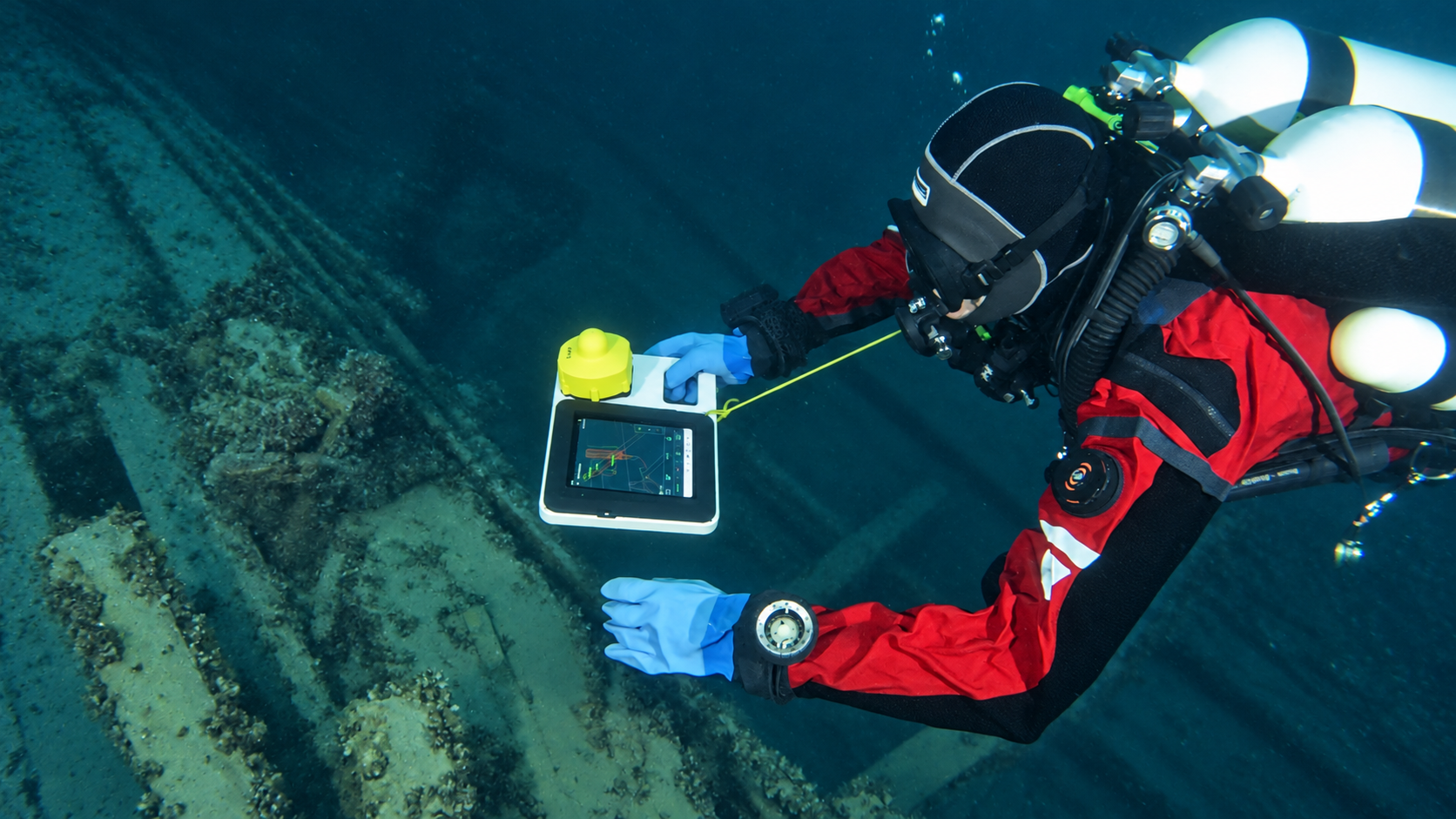
The technology behind the shared picture
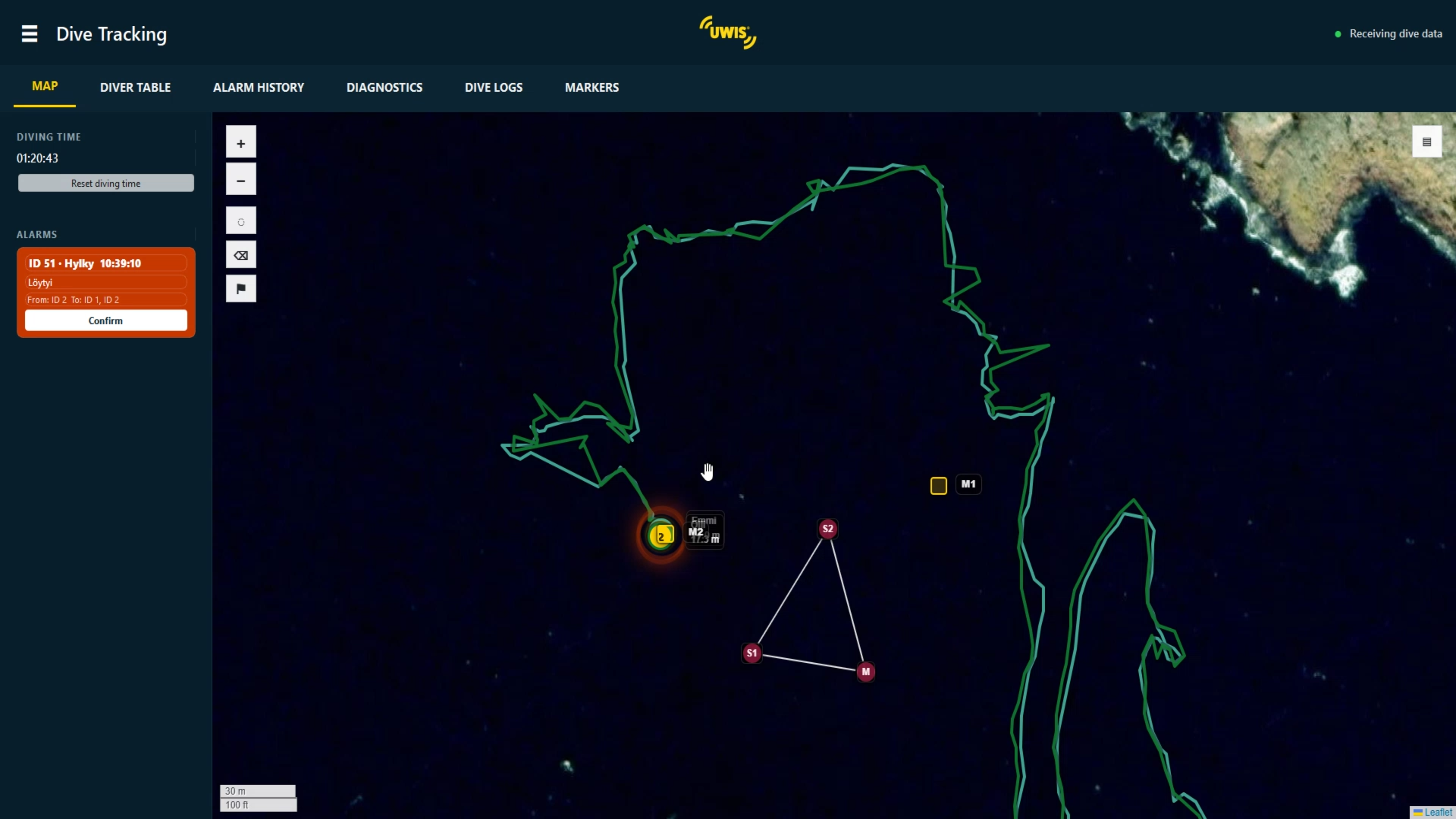
Knowing a position is the starting point. What matters is how your team uses it.
Monitor divers and ROVs from the surface, with location information updated in near real time.
Use waypoints to support routes, searches and return points with a compatible underwater display.
Exchange predefined messages between divers and the surface. Record dive data for review after the operation.
Your mission comes first
Select your area of work to see how UWIS can support your team.
WHO IT'S FOR / 01
Support systematic underwater searches with diver location information, planned waypoints and a shared view from the surface.
The priority: finding the search target and documenting the search.
Explore search & rescue ↗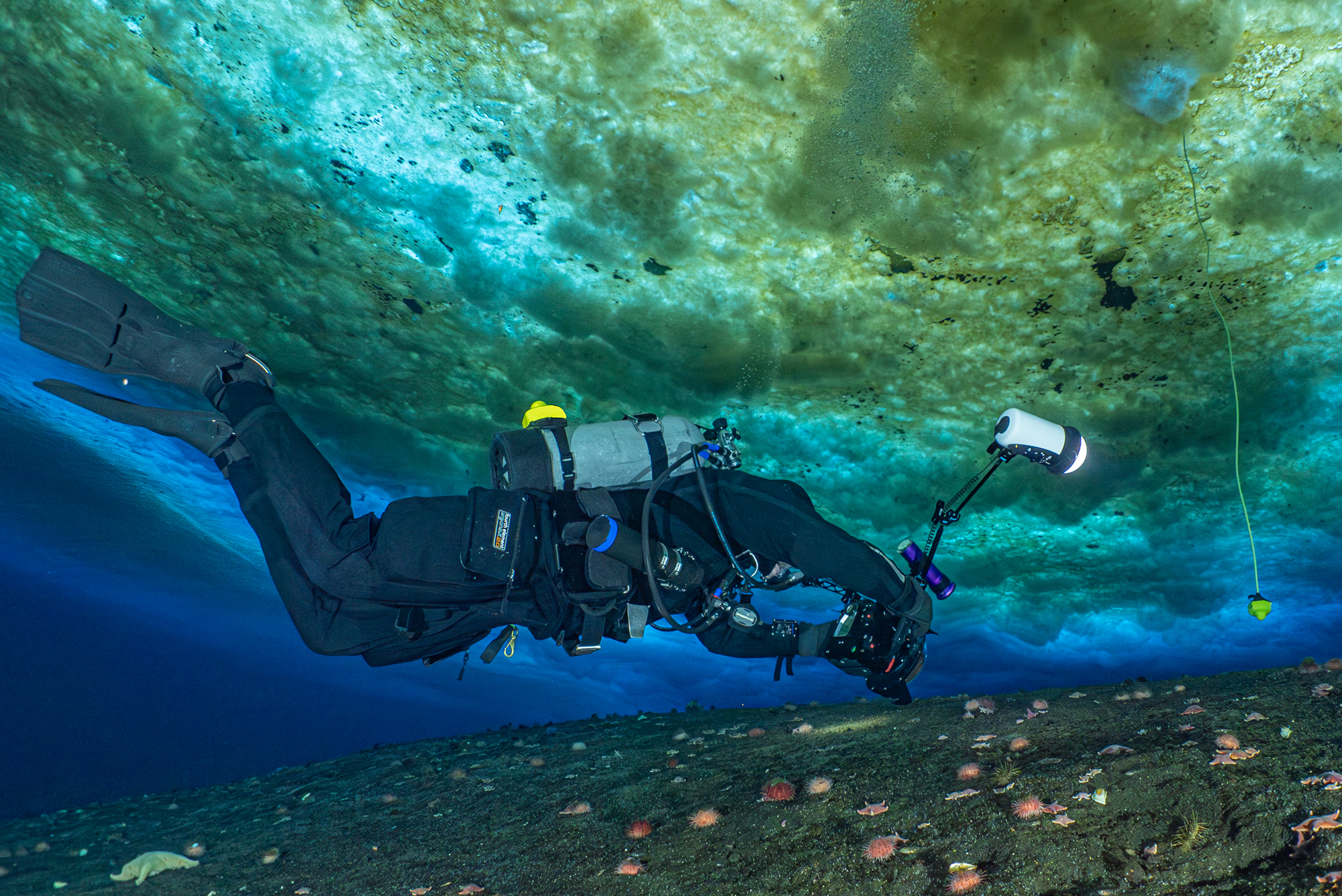
How it comes together
GNSS-equipped buoys establish the surface reference. Underwater positions are calculated using acoustic trilateration.
Up to 100 UWIS Diver Units accompany divers or ROVs and communicate acoustically with the three buoys.
UWIS Tracker (Windows) and UWIS Viewer (Android) serve the surface team. UWIS Navigator (Android) brings navigation and messaging to the diver on Alltab.
Connected wirelessly. Free to move. UWIS uses wireless underwater positioning and communication, giving divers freedom of movement and supporting safety through shared position information.
Explore the system ↗Start with your operation
Tell us about your team, environment and mission.
Let's explore the right UWIS setup together.