UWIS dive: Scientific diver training
UWIS used in European Scientific Diving (ESD) Training Course.
Mission: Demonstrate and train scientific divers in the use of the UWIS system. This session marked the first combined use of the UWIS system and the Alltab tablet’s field data collection software, "Allure."
Watch the video here:
UWIS Scientific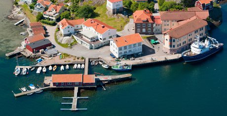
The training was conducted at the Sven Lovén Center in Kristineberg, Sweden, part of the University of Gothenburg. The center provided all the diving equipment required for the course.
The participants were postgraduate researchers looking to deepen their expertise in scientific diving. The training focused on two main areas: diving safety and field data collection.
Conditions:
- Water temperature: ~16°C
- Visibility: ~6 meters
- Maximum depth: 7 meters
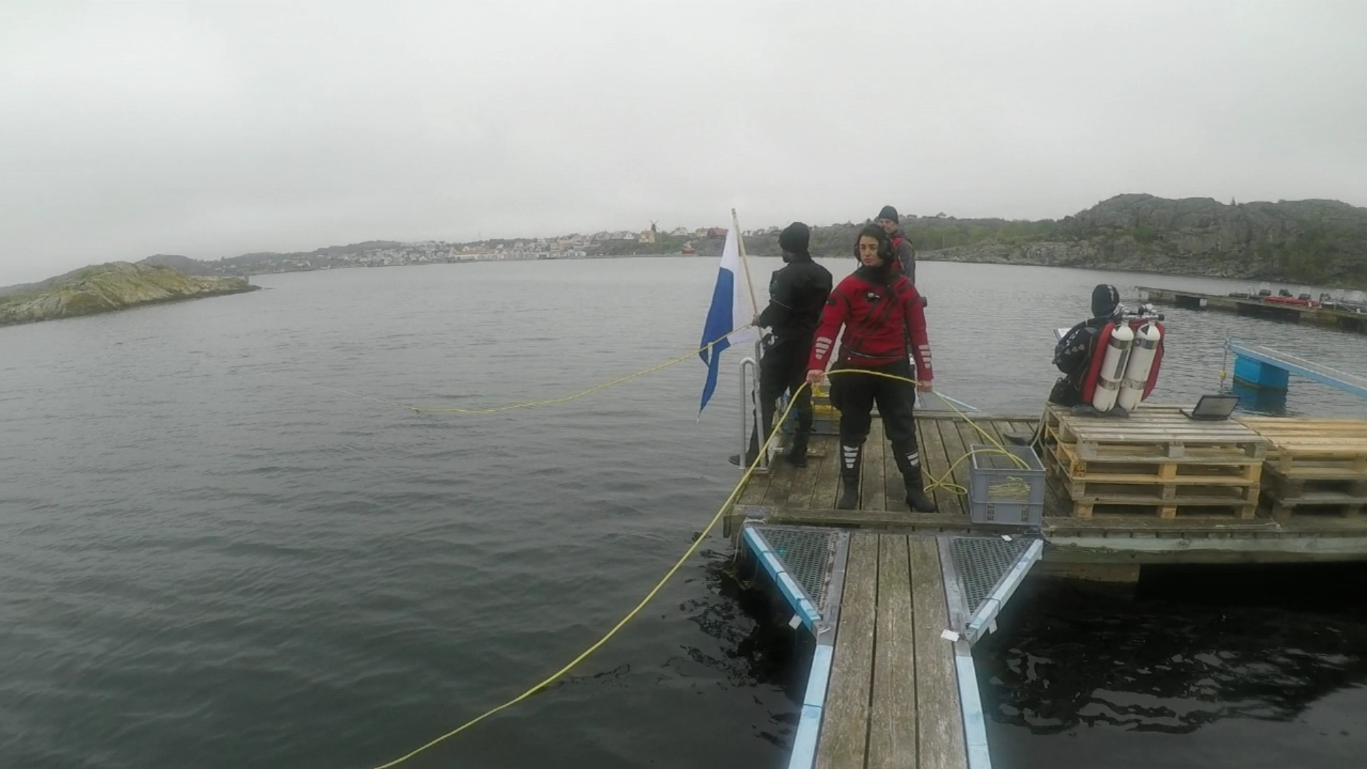
The first day’s dives were conducted from the center’s home dock. UWIS buoys were placed in a small triangular formation along the dock's structure. To improve tracking accuracy, GPS inaccuracies were eliminated by manually inputting fixed buoy coordinates, enabling precise route tracking.
 UWIS buoy unit
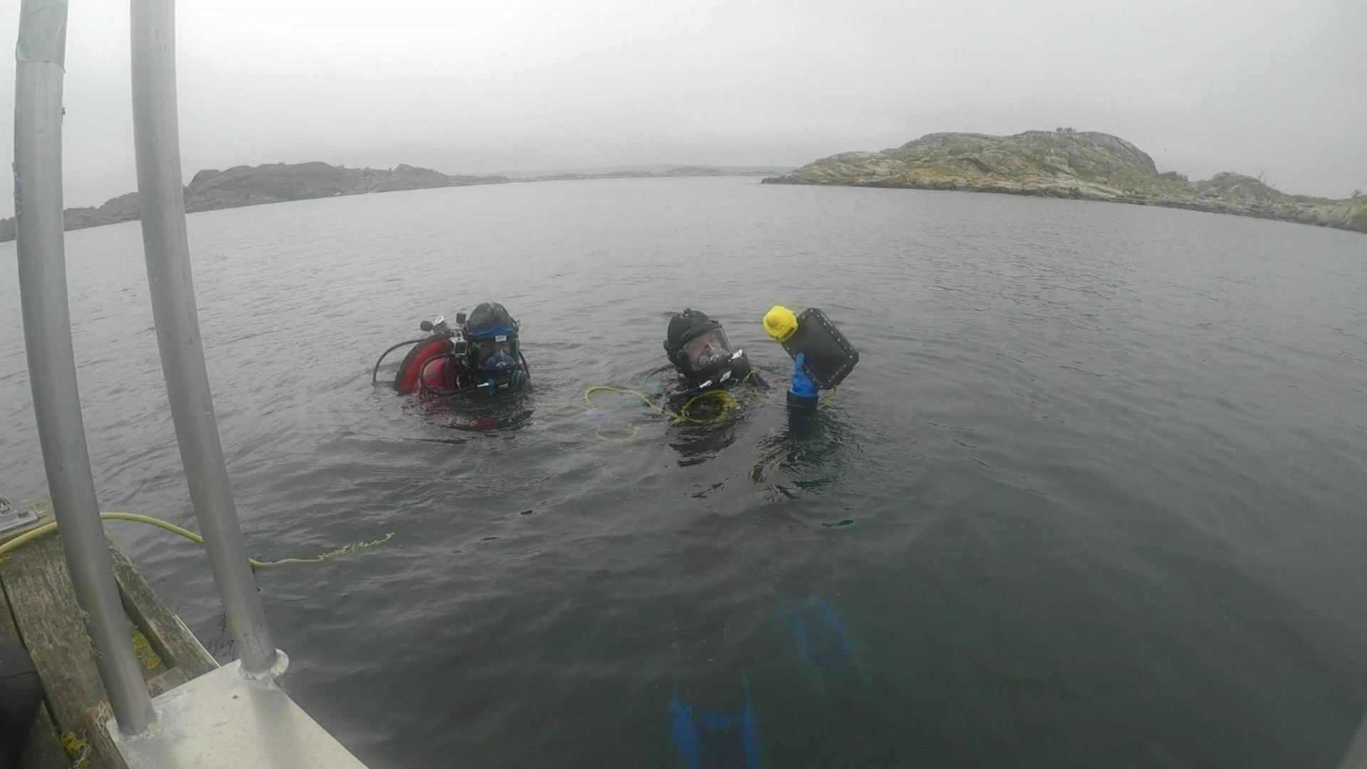
Diving tasks varied slightly between groups. One group collected observations at predefined points, while another followed a sector-based search pattern to study the presence of seagrass.
Below are screenshots from the UWIS Tracker and Google Earth Pro, showing the logged dive routes:
 UWIS Tracker
 KML track in Google Earth
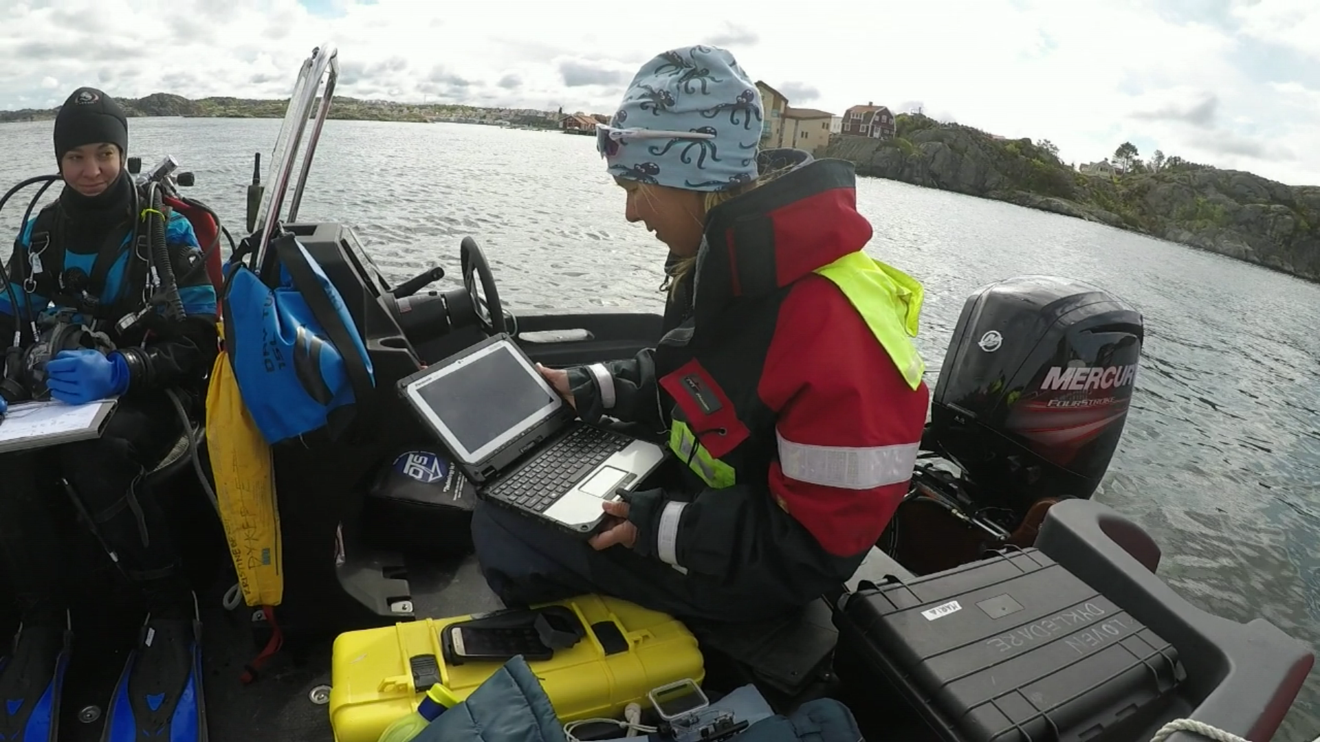
Using real-time navigation during boat dives also enhanced safety monitoring.
The second day’s dives were conducted from boats. A high-resolution drone image of the area, which included visible seagrass locations, was used as an overlay in the "Valtamer Navigator for UWIS" software. This feature allowed divers to view their position relative to the aerial photo in real-time.
Below are images showcasing the Alltab underwater tablet in use during the dives:
- An aerial photo overlay used in navigation software.
- Allure field data collection software in use during the dive and after surfacing.
- Post-dive data synchronization to the cloud.
") Underwater navigator (drone photo)
Underwater navigator (drone photo)
 Field data collection
 Database