Data collection
Collect field observations and associate them with location information. The Kristineberg training case demonstrates Alltab and Allure alongside UWIS.

Who it's for / Scientific diving
Give observations, underwater imagery and recorded footage a spatial context — whether the work is carried out by divers or an ROV.
Explore the field cases ↓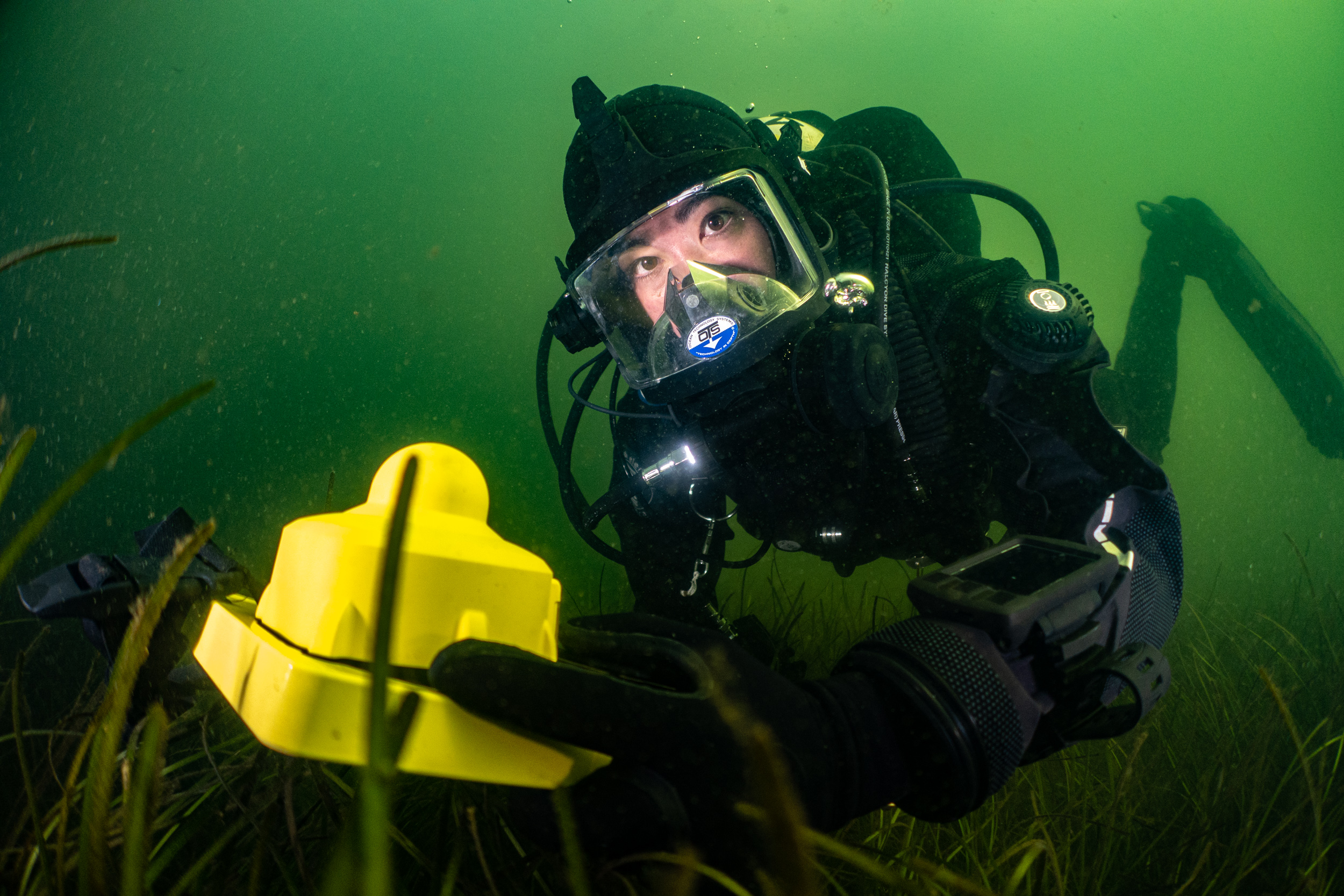
The research need
A position helps place a finding in context, revisit a study area and connect records from the same site.
Collect field observations and associate them with location information. The Kristineberg training case demonstrates Alltab and Allure alongside UWIS.
Use recorded position information, including depth, to support the spatial context of imaging work. In the Signilskär case, positions were associated with images after the dive and used in Metashape reconstruction.
Connect footage with the route, coordinates and depth of the recording. The marine habitat case shows UWIS data added to ROV video during post-processing.
From the dive to the research record
Track divers or an ROV. Use a compatible underwater display to navigate and mark points of interest while gathering observations or imagery.
Match position records to observations, images or footage using the workflow appropriate to the recording equipment and software.
Review routes, support reconstruction and prepare spatial records for later study or a return visit.
The field cases show specific workflows. Image association, video overlays and 3D reconstruction use the tools described in each case.
How UWIS positioning works ↗Field cases / Scientific diving
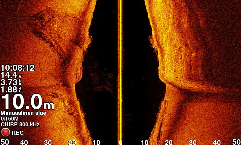
Scientific diving / 3D positioning / Photogrammetry
Recorded camera positions were associated with imagery to support reconstruction of a fragmented wreck.
Read the field case ↗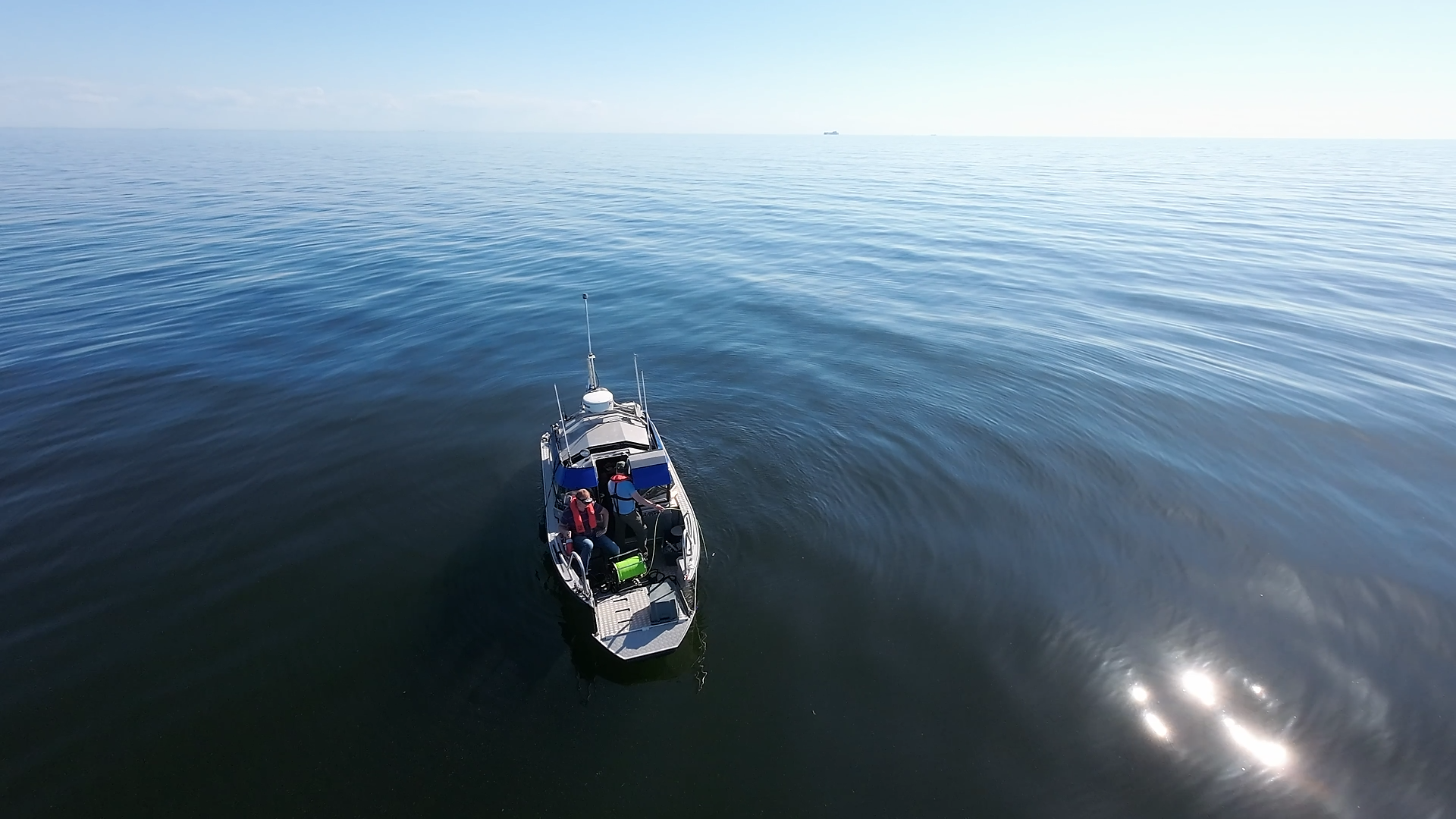
Scientific diving / ROV operations / Geolocated footage
Field trials connected ROV navigation and recorded footage with underwater position information.
Read the field case ↗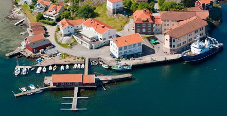
Scientific diving / Data collection / Training
Researchers practised navigation and field data collection using UWIS, Alltab and Allure.
Read the field case ↗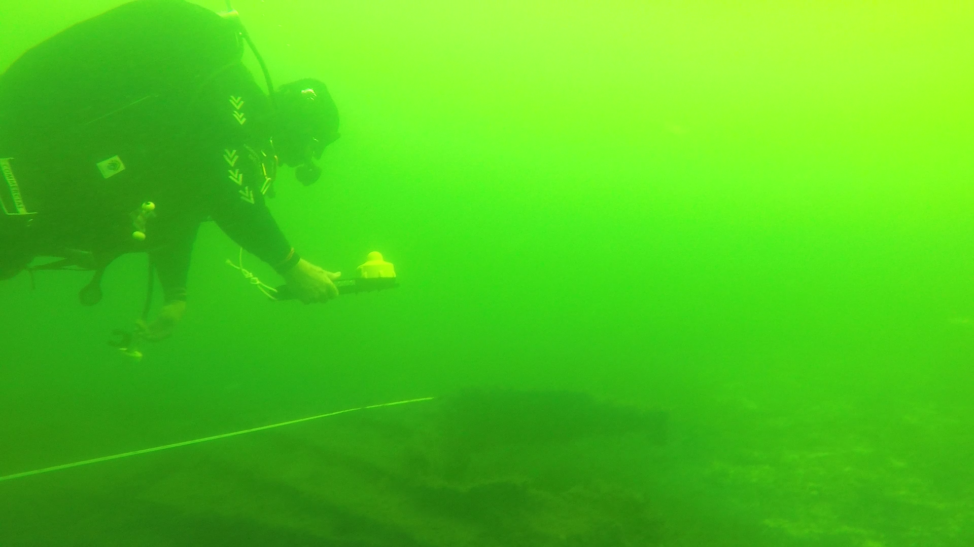
Scientific diving / Marine archaeology / Observation marking
Divers navigated over the wreck, marked findings and recorded their work.
Read the field case ↗Start with your study
Tell us about your fieldwork so we can discuss an appropriate setup.
Start with your operation
Tell us about your team, environment and mission.
Let's explore the right UWIS setup together.