
Scientific diving / ROV operations / Geolocated footage · Field case
MARINE HABITAT MAPPING AND GEOLOCATED FOOTAGE
Field trials connected ROV navigation and recorded footage with underwater position information.
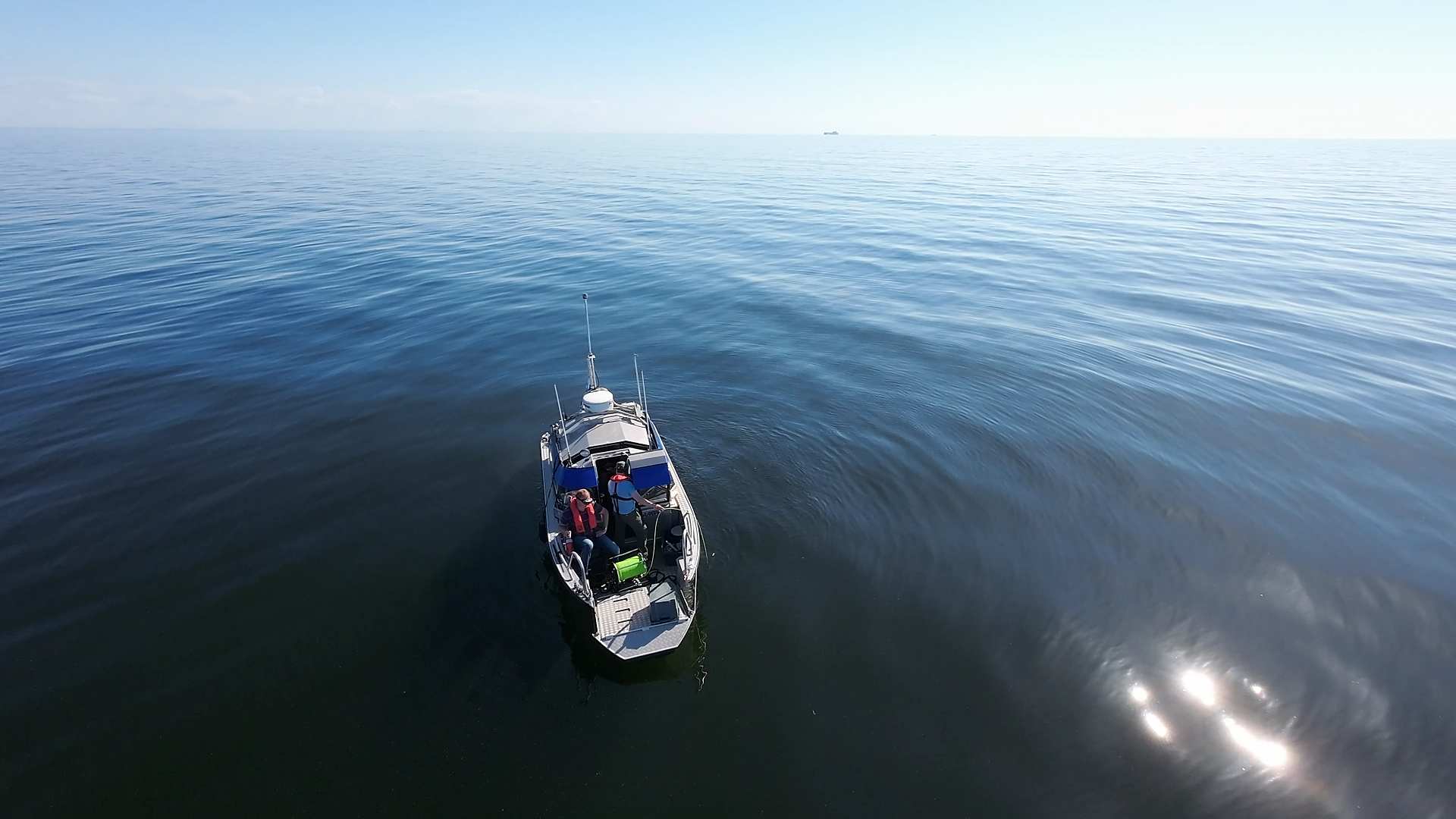
Metsähallitus Parks & Wildlife Finland · Baltic Sea, Finland
01 / Mission
THE OBJECTIVE.
Demonstrate UWIS for habitat mapping and monitoring.
Operating conditions
- Ulko-Tammio and Sandkallan reefs
- Shallow, rocky water
Conditions reported for this case.
02 / System setup
THE TOOLS
IN THE FIELD.
- UWIS-equipped ROV
- UWIS Tracker and DeepView
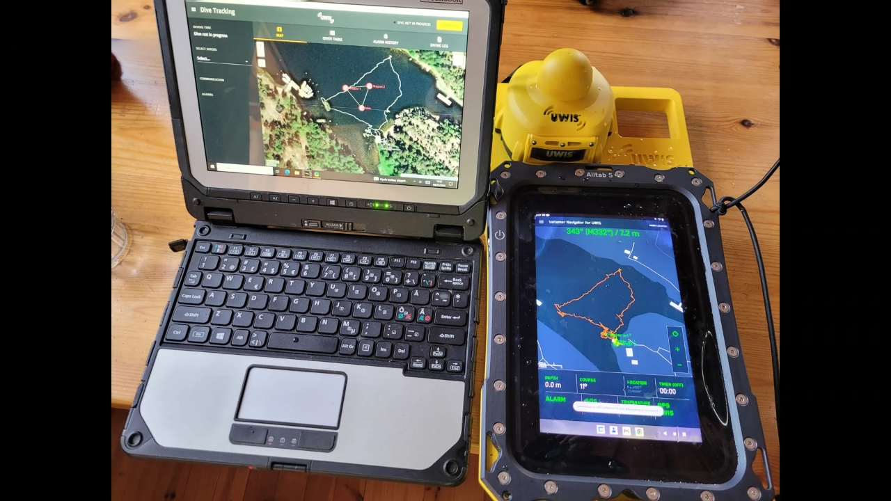
- Alltab for shallow-water observations
03 / In practice
HOW THE WORK UNFOLDED.
- The ROV was tracked during mapping trials.
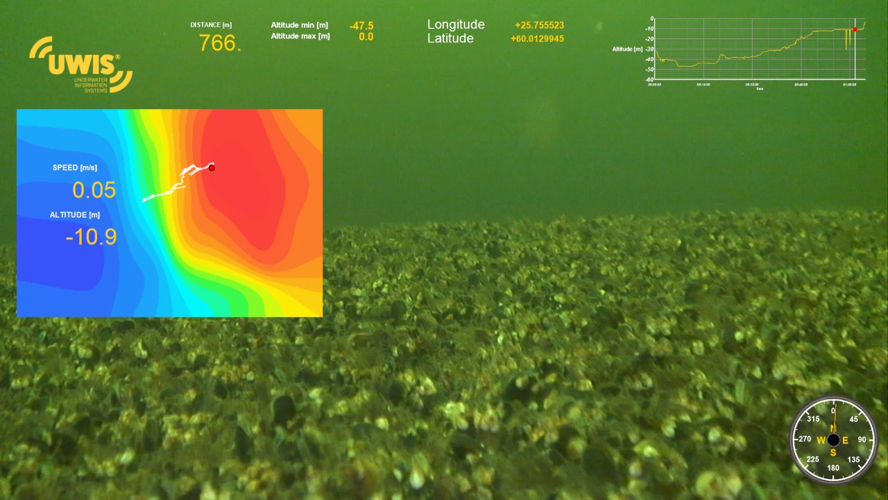
- Position data was combined with footage in Dashware after recording.
- A snorkelling test explored navigation and observation marking.
04 / Recorded outcomes
WHAT WAS ACHIEVED.
- Footage displayed coordinates, depth and route information.
- Observation locations could be marked and revisited.
Reported outcomes from this case.
05 / See the field work
FROM THE FIELD.
Case video
Watch the case video. Photographs and recorded tracks are included below.
Watch on YouTube ↗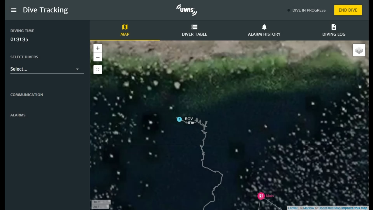
06 / Your operation
EXPLORE UWIS
FOR YOUR OPERATION.
Explore scientific diving ↗All field cases ↗Start with your operation
WHAT DO YOU
NEED TO SEE?
Tell us about your team, environment and mission.
Let's explore the right UWIS setup together.