
Scientific diving / 3D positioning / Photogrammetry · Field case
POSITION DATA FOR UNDERWATER PHOTOGRAMMETRY
Recorded camera positions were associated with imagery to support reconstruction of a fragmented wreck.
Nautic Club Urheilusukeltajat ry.; work requested by Åland Maritime Museum · Signilskär wreck site, Baltic Sea
01 / Mission
THE OBJECTIVE.
Assist 3D modelling and explore the use of UWIS position data in photogrammetry.
Operating conditions
- Water temperature: about 4°C
- Visibility: about 6 m
- Maximum depth: about 16 m
Conditions reported for this case.
02 / System setup
THE TOOLS
IN THE FIELD.
- UWIS unit on the camera diver
- UWIS Tracker aboard Tavi
- Agisoft Metashape for post-dive reconstruction
03 / In practice
HOW THE WORK UNFOLDED.
- Divers filmed the wreck while their positions were recorded.
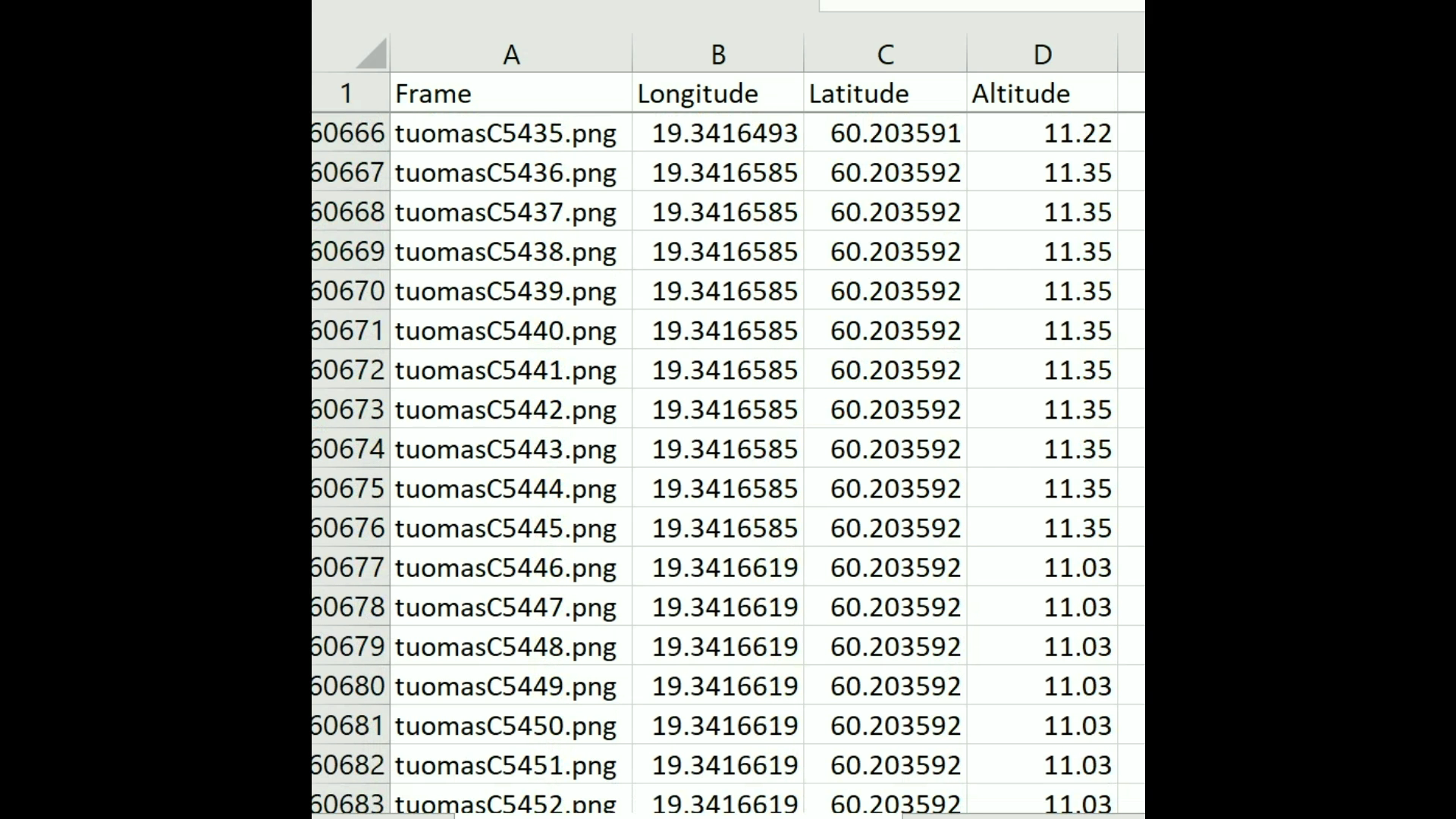
- Position data was associated with images after the dive.
- Metashape processed the imagery and position data.
04 / Recorded outcomes
WHAT WAS ACHIEVED.
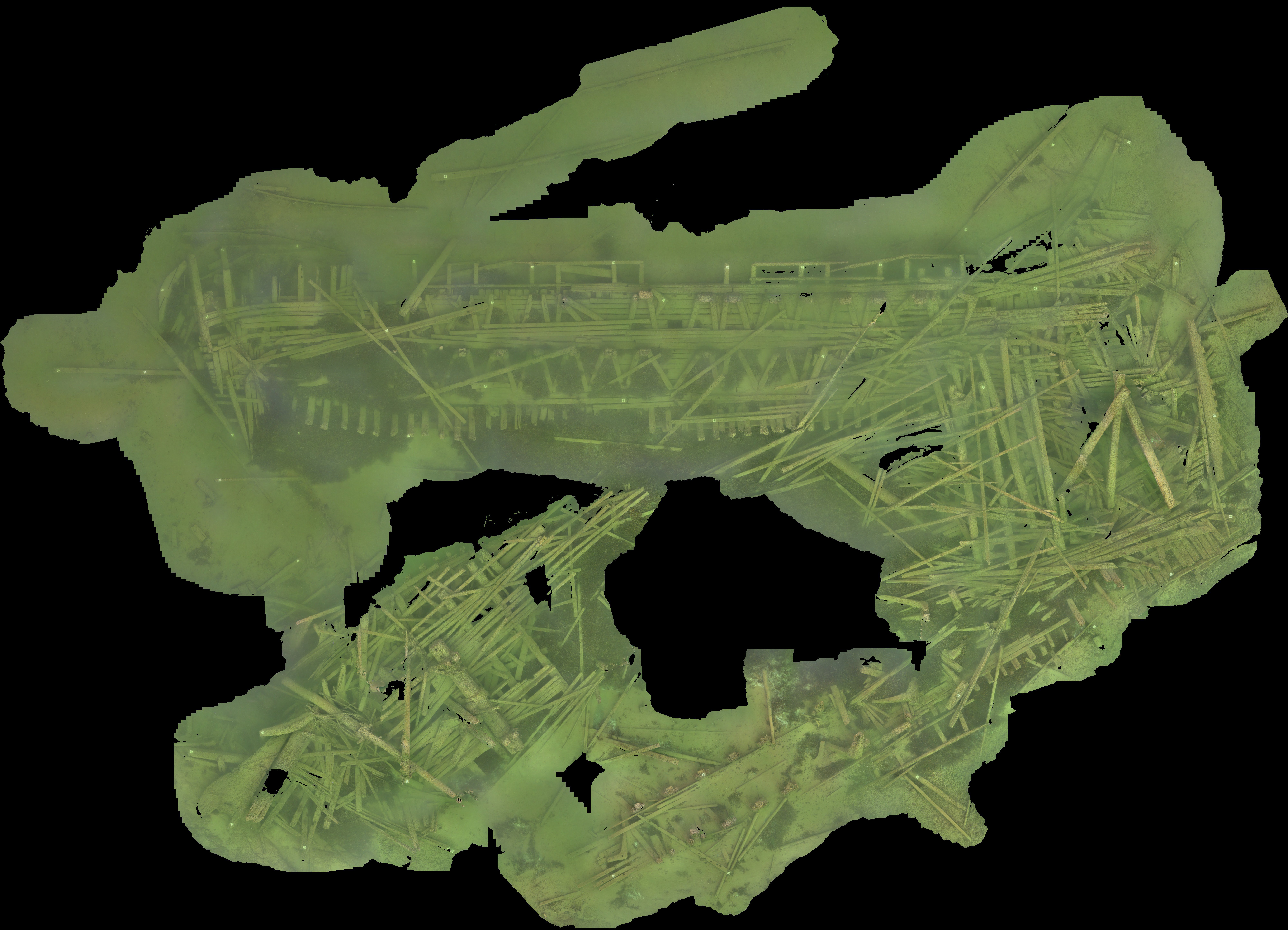
- A textured 3D model and orthoimage were produced.
- The orthoimage could serve as a navigation overlay.
Reported outcomes from this case.
05 / See the field work
FROM THE FIELD.
Case video
Watch the case video. Photographs and recorded tracks are included below.
Watch on YouTube ↗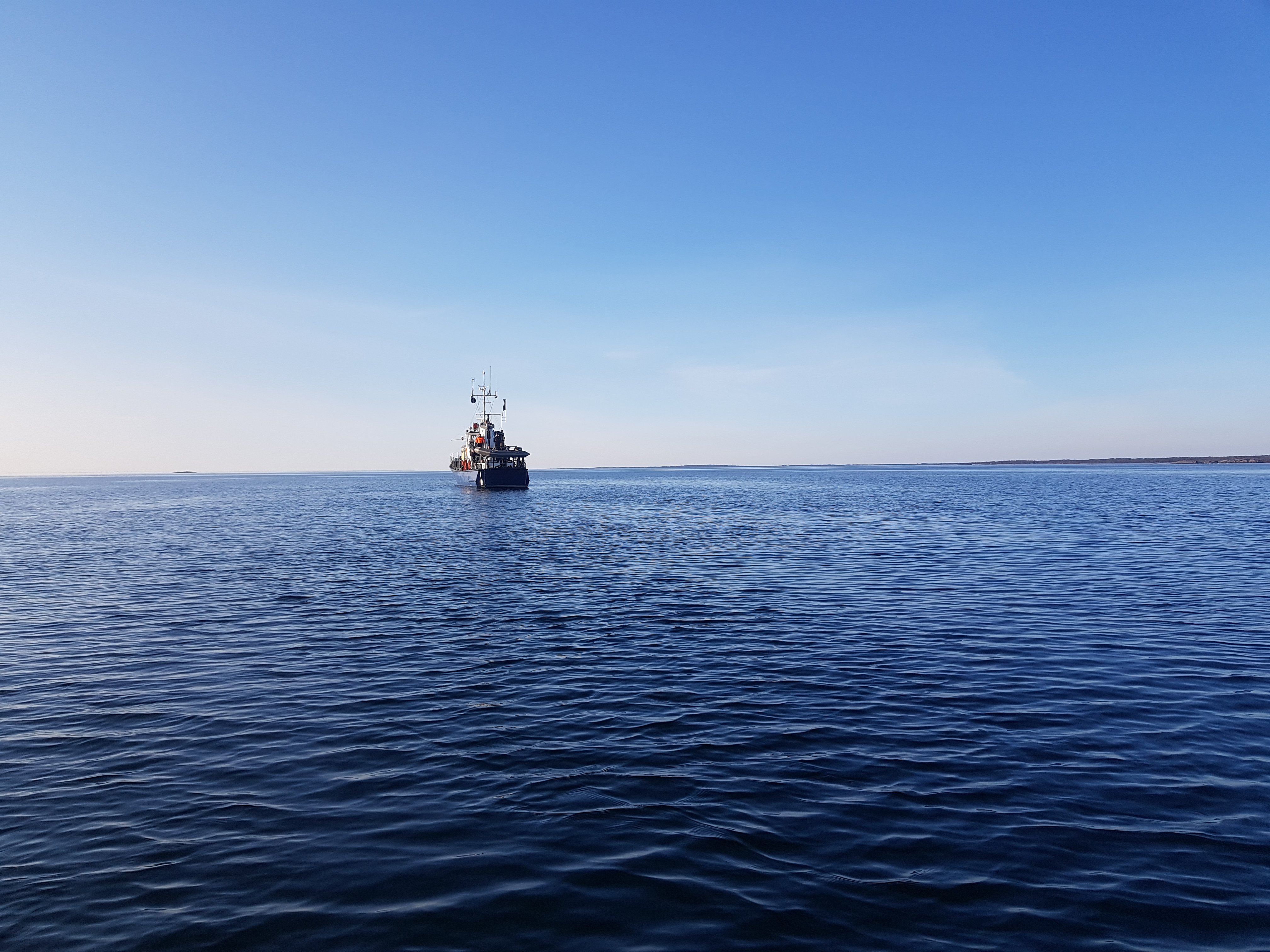
06 / Your operation
EXPLORE UWIS
FOR YOUR OPERATION.
Explore scientific diving ↗All field cases ↗Start with your operation
WHAT DO YOU
NEED TO SEE?
Tell us about your team, environment and mission.
Let's explore the right UWIS setup together.