
Scientific diving / Marine archaeology / Observation marking · Field case
UNDERWATER ARCHAEOLOGY AT GRIBSHUNDEN
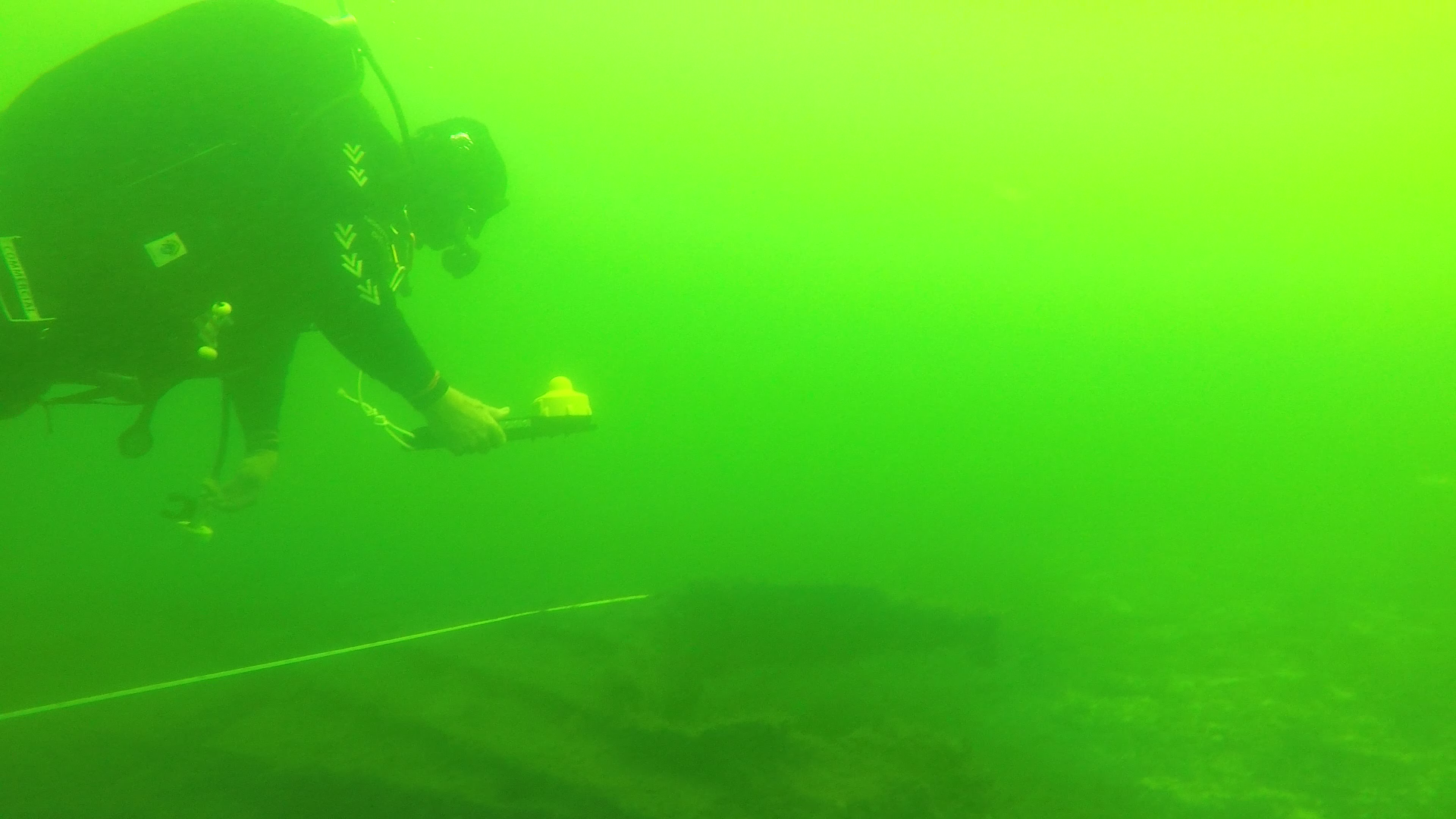
Divers navigated over the wreck, marked findings and recorded their work.
Gribshunden excavation team · Ronneby, Sweden
01 / Mission
THE OBJECTIVE.
Support wreck navigation, observation marking and dive documentation.
Operating conditions
- Water temperature: about 18°C
- Visibility: about 6 m
- Maximum depth: about 10 m
Conditions reported for this case.
02 / System setup
THE TOOLS
IN THE FIELD.
- UWIS diver units and Tracker
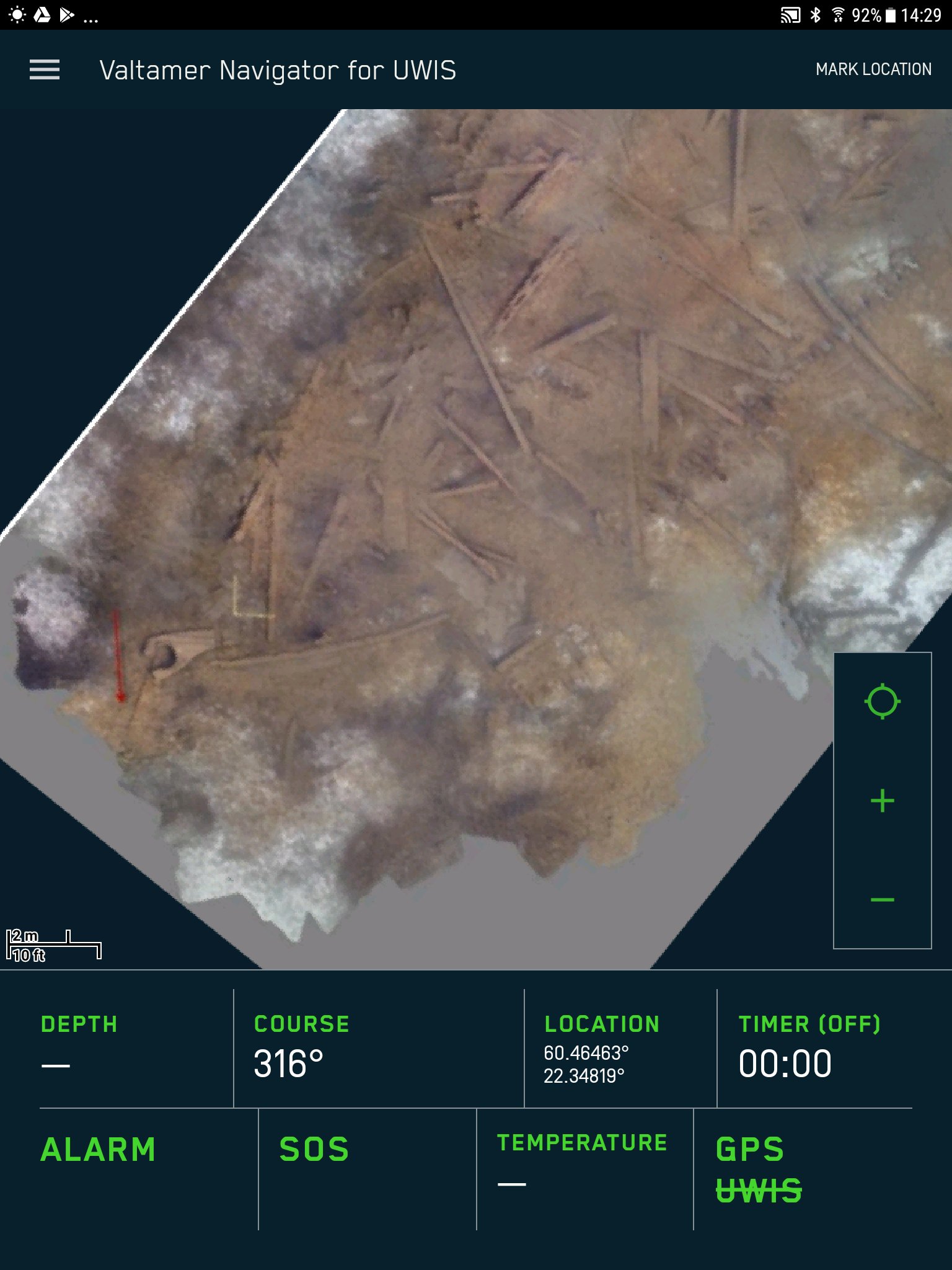
- Alltab with Valtamer Navigator
- Georeferenced wreck overlays
03 / In practice
HOW THE WORK UNFOLDED.
- Drawing, sonar and photogrammetric overlays were prepared.
- Divers viewed positions and marked points of interest.
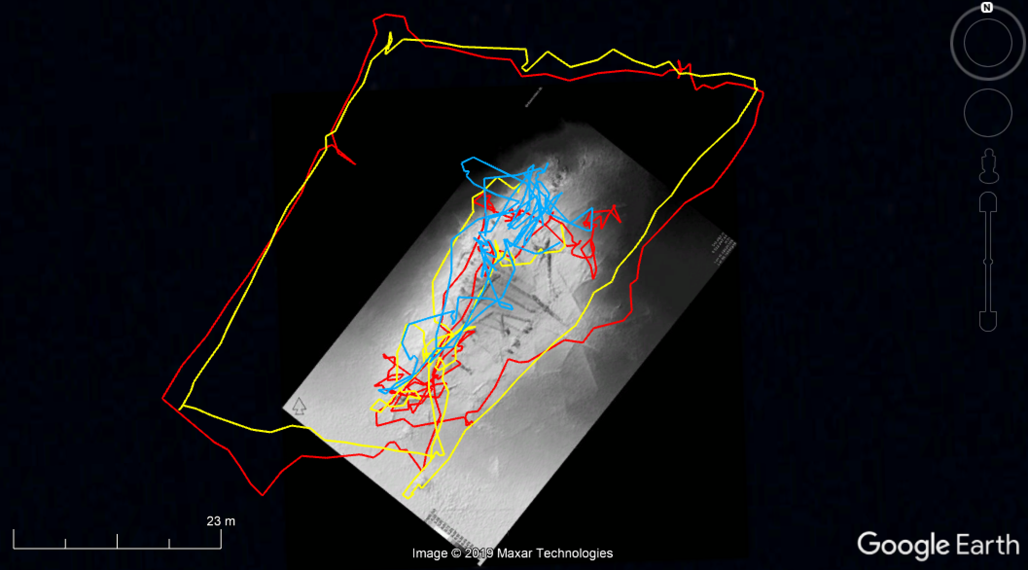
- Routes were saved for reporting.
04 / Recorded outcomes
WHAT WAS ACHIEVED.
- Up to three divers were tracked at the site.
- Marked findings and recorded routes supported documentation.
Reported outcomes from this case.
05 / See the field work
FROM THE FIELD.
Case video
Watch the case video. Photographs and recorded tracks are included below.
Watch on YouTube ↗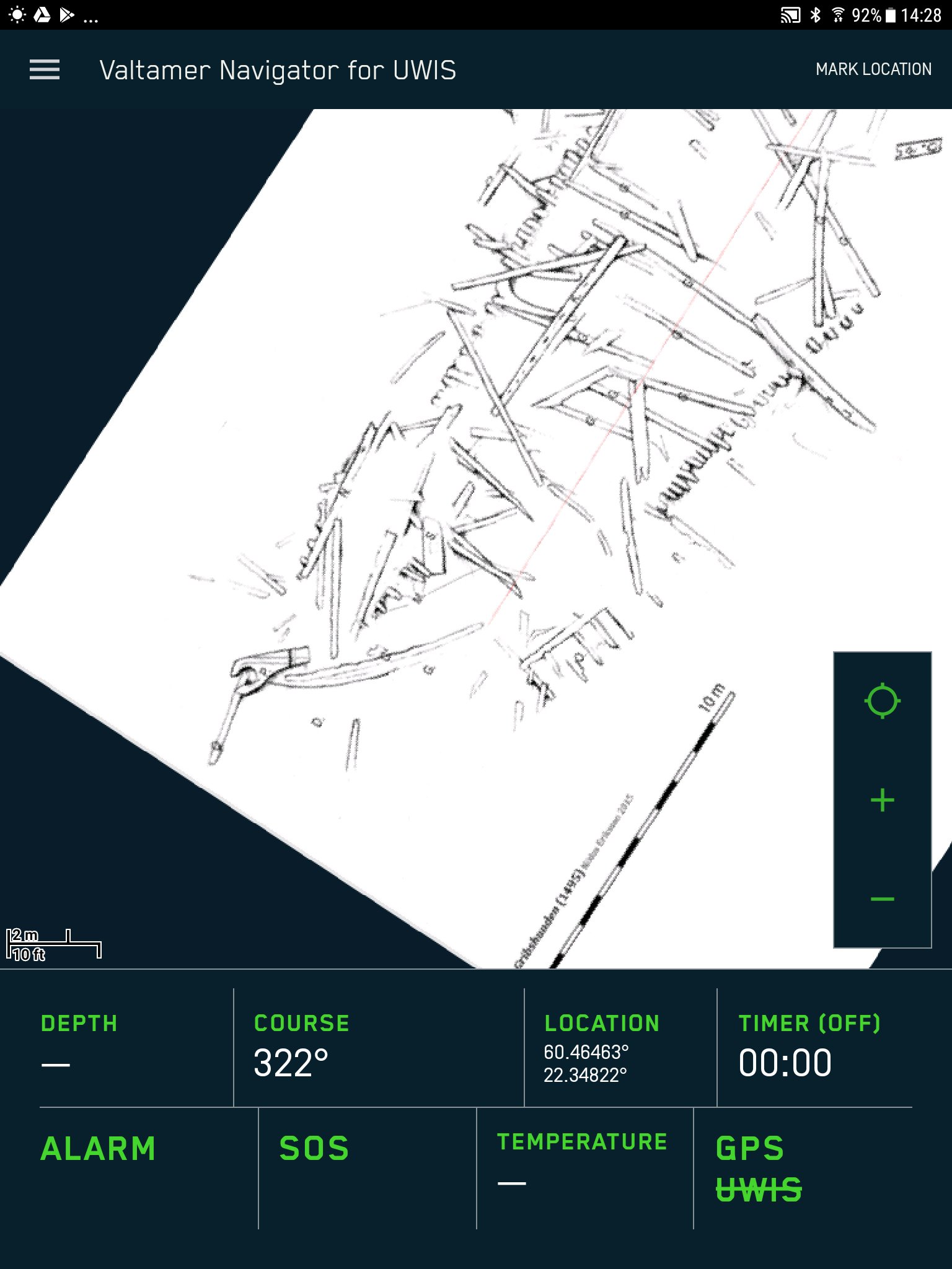
06 / Your operation
EXPLORE UWIS
FOR YOUR OPERATION.
Explore scientific diving ↗All field cases ↗Start with your operation
WHAT DO YOU
NEED TO SEE?
Tell us about your team, environment and mission.
Let's explore the right UWIS setup together.