Follow the search
Monitor the vehicle's location and review its recorded route.
ROV operations
Connect the vehicle’s route with the wider operation — from a rescue search to scientific fieldwork.
The operator's picture
The camera shows what is in front of the vehicle. Position information adds context for the surface team and the record of the work.
Monitor the vehicle's location and review its recorded route.
Bring ROV work into an operation that also involves tracked divers.
Associate recorded video with position data in an appropriate post-processing workflow, as demonstrated in the marine habitat case.
Build around the vehicle
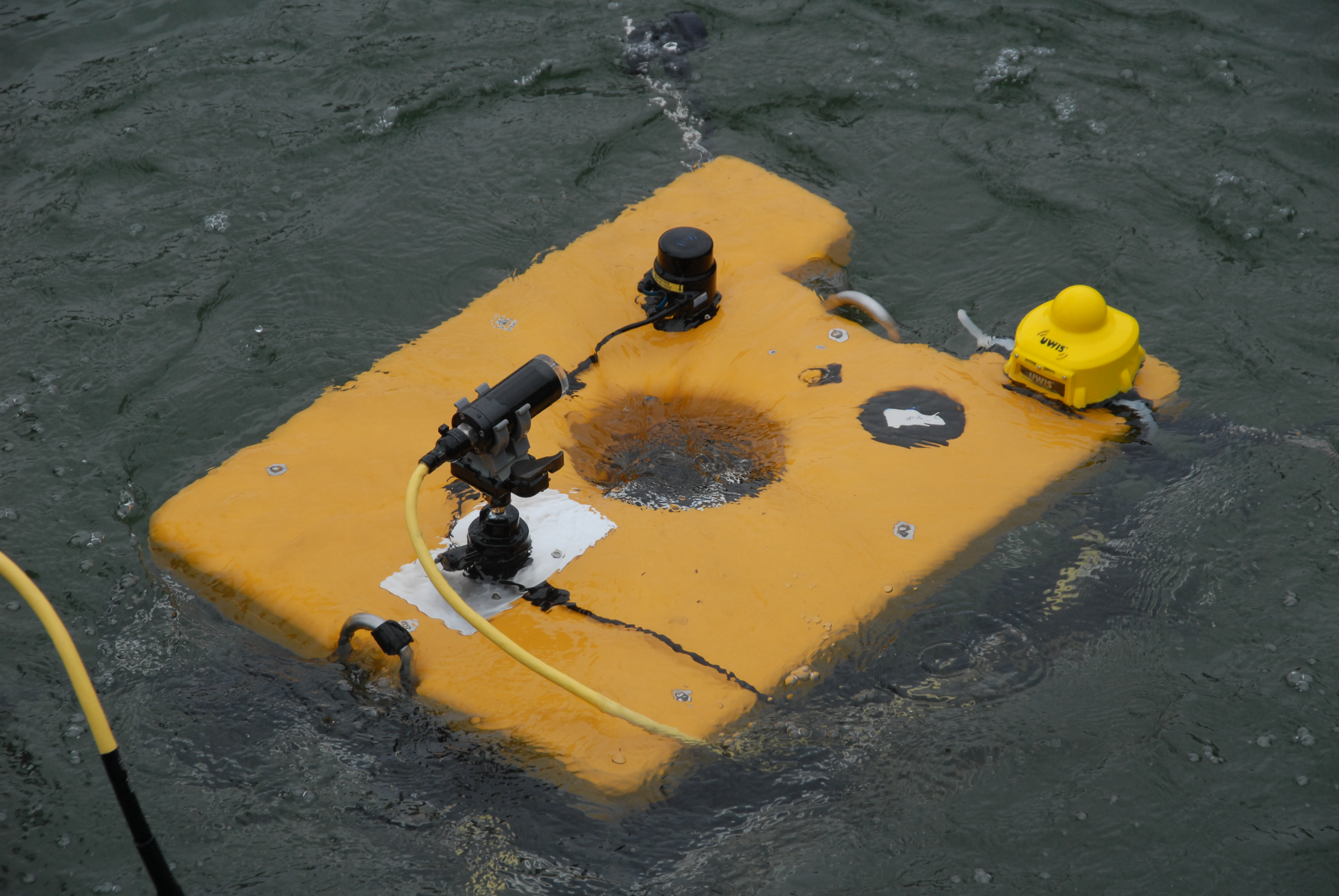
A UWIS underwater unit accompanies the ROV. Surface buoys and monitoring software provide position information for the operation.
Discuss unit mounting, acoustic visibility to the buoys and your control software with UWIS. The rescue trials describe external position input and DeepView use; integration requirements depend on the vehicle and software.
ROV field cases
SAR / ROV operations
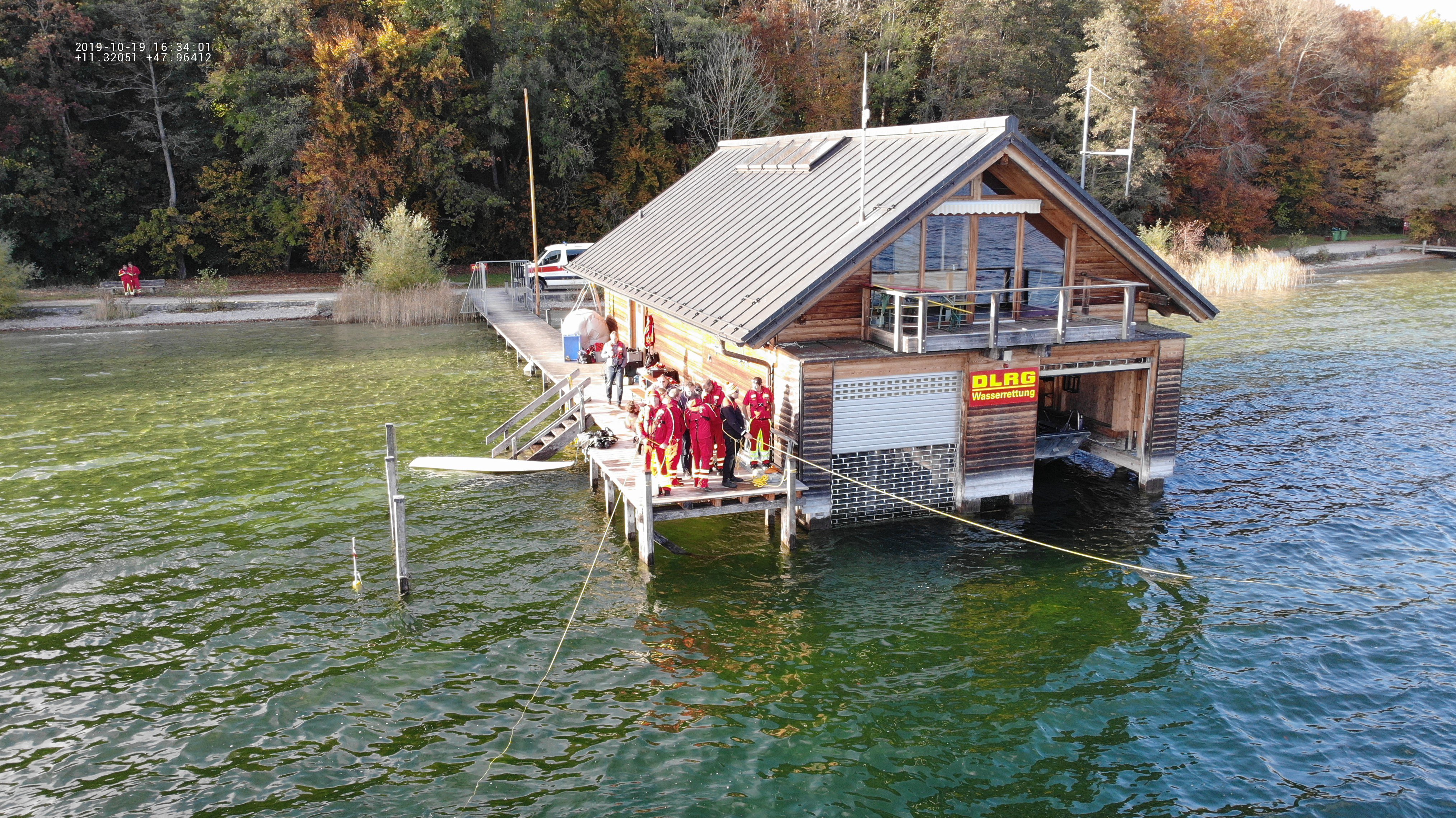
A two-day exercise combined sector searches, tablet-guided diver navigation and an ROV search.
Read the field case ↗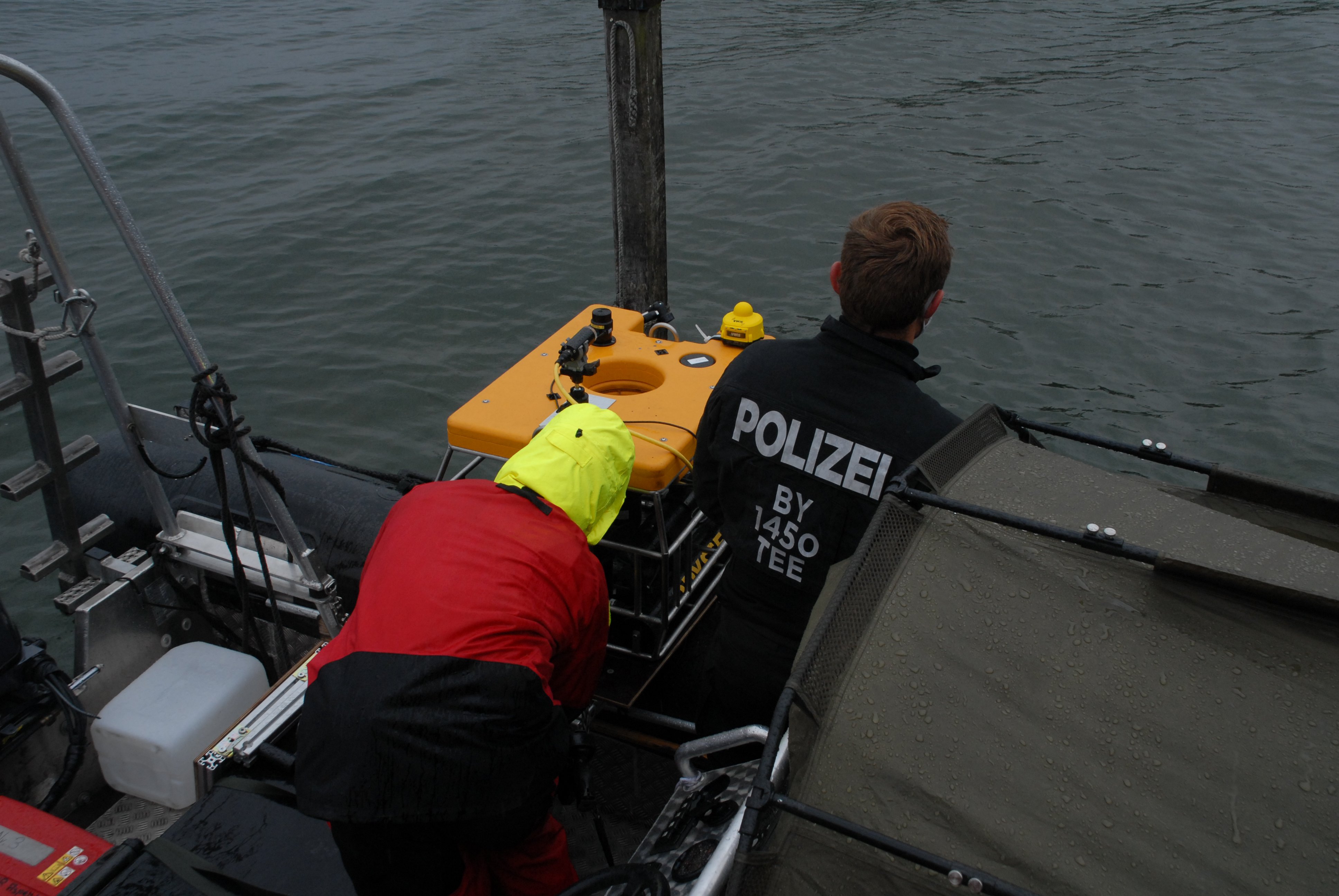
SAR / ROV operations
ROV trials explored positioning, diver cooperation and recorded route review.
Read the field case ↗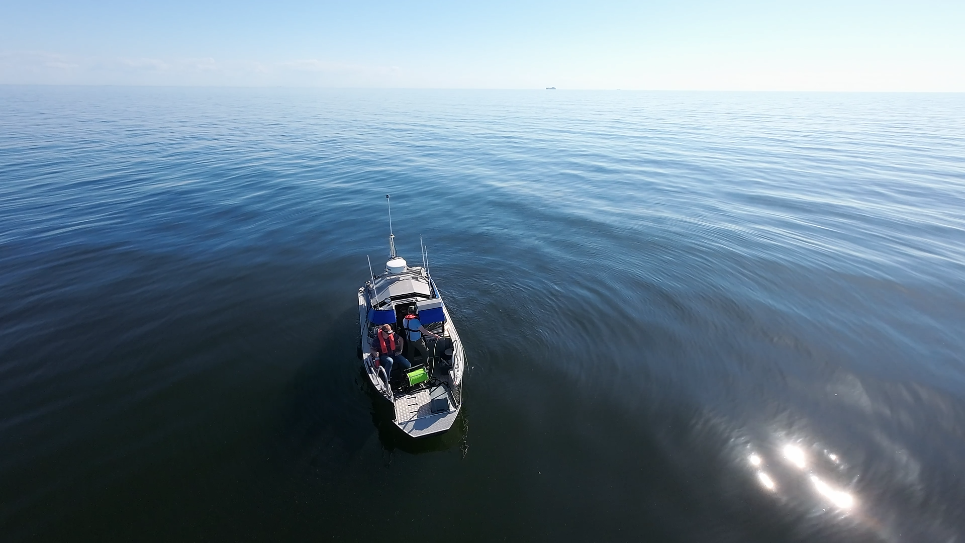
Scientific diving / ROV operations / Geolocated footage
Field trials connected ROV navigation and recorded footage with underwater position information.
Read the field case ↗Plan the setup
Start with your operation
Tell us about your team, environment and mission.
Let's explore the right UWIS setup together.