Plan the search
Use waypoints to organise routes and mark locations of interest.

Search & rescue
Underwater tracking, navigation and communication for the people planning, leading and carrying out the search.
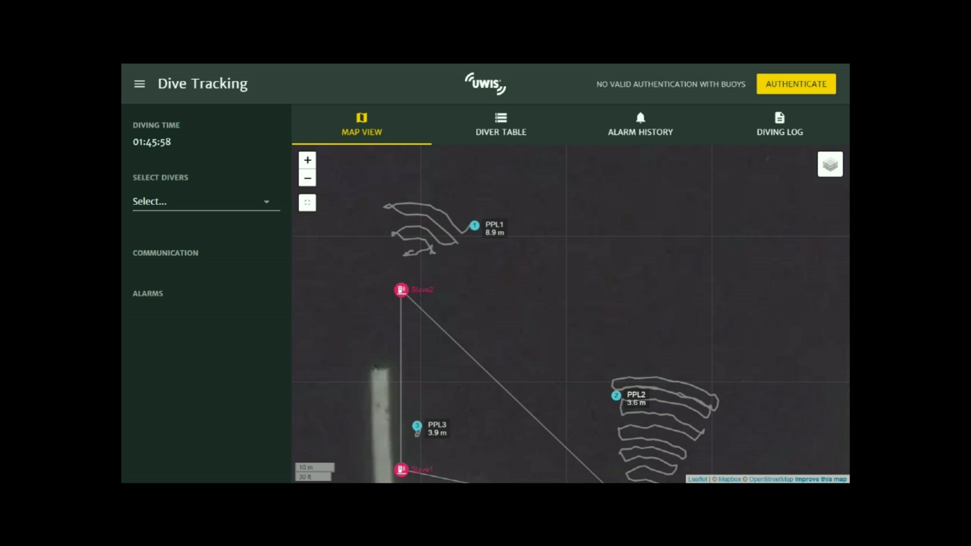
A shared operational picture
Limited visibility makes coordination demanding. UWIS gives the dive leader position information and tools to support a systematic search.
Use waypoints to organise routes and mark locations of interest.
View diver positions from the surface and exchange predefined messages.
Use recorded tracks and dive data to review work and support training.
ROVs within the same operation
ROV tracking is part of the SAR workflow. A UWIS unit can follow the vehicle's position, helping the surface team coordinate work involving both divers and ROVs.
Understand the positioning system ↗Discuss your operating environment
To explore a suitable configuration, tell us:
Field cases / SAR
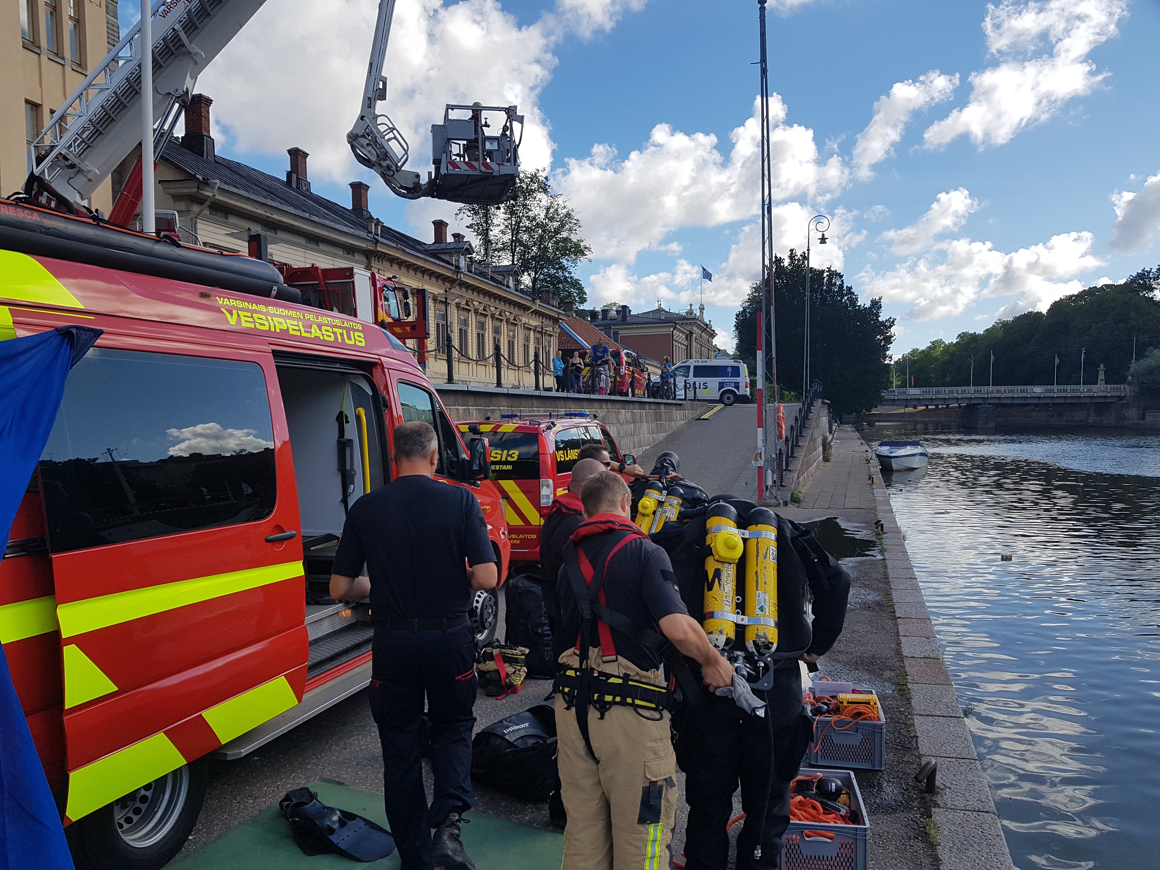
SAR
Two rescue divers carried out sector searches with surface tracking and recorded routes.
Aura River, Finland
Read the field case ↗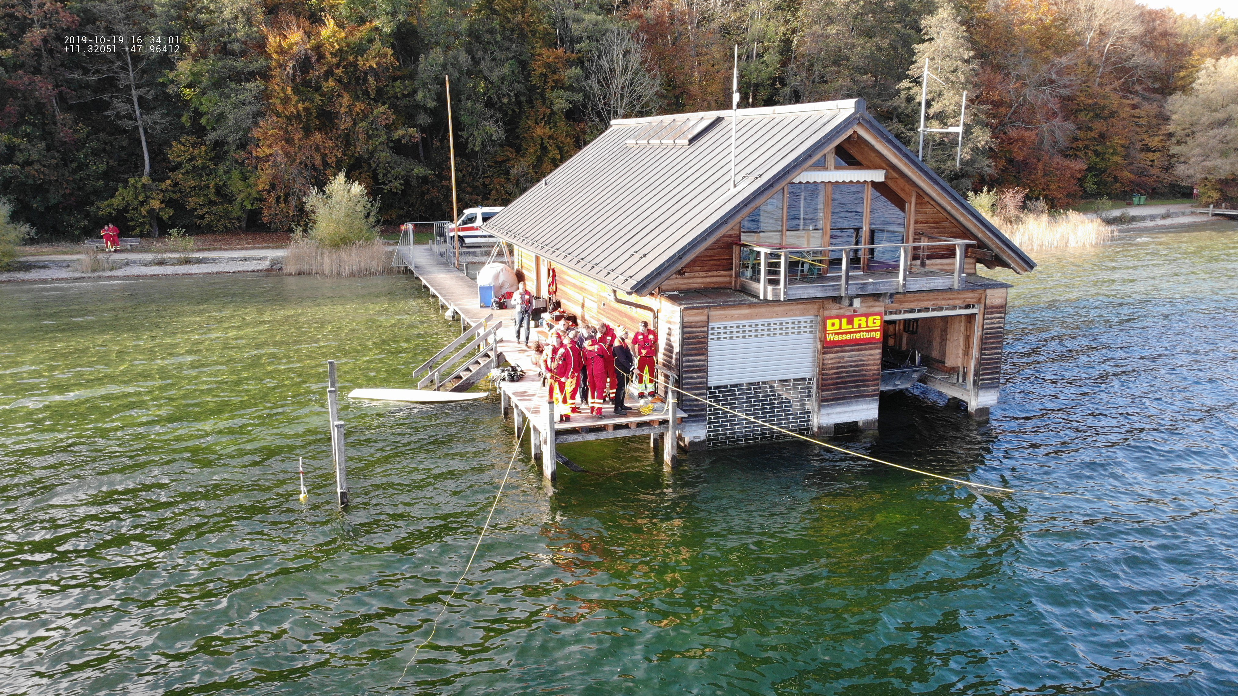
SAR / ROV operations
A two-day exercise combined sector searches, tablet-guided diver navigation and an ROV search.
Lake Starnberg, Germany
Read the field case ↗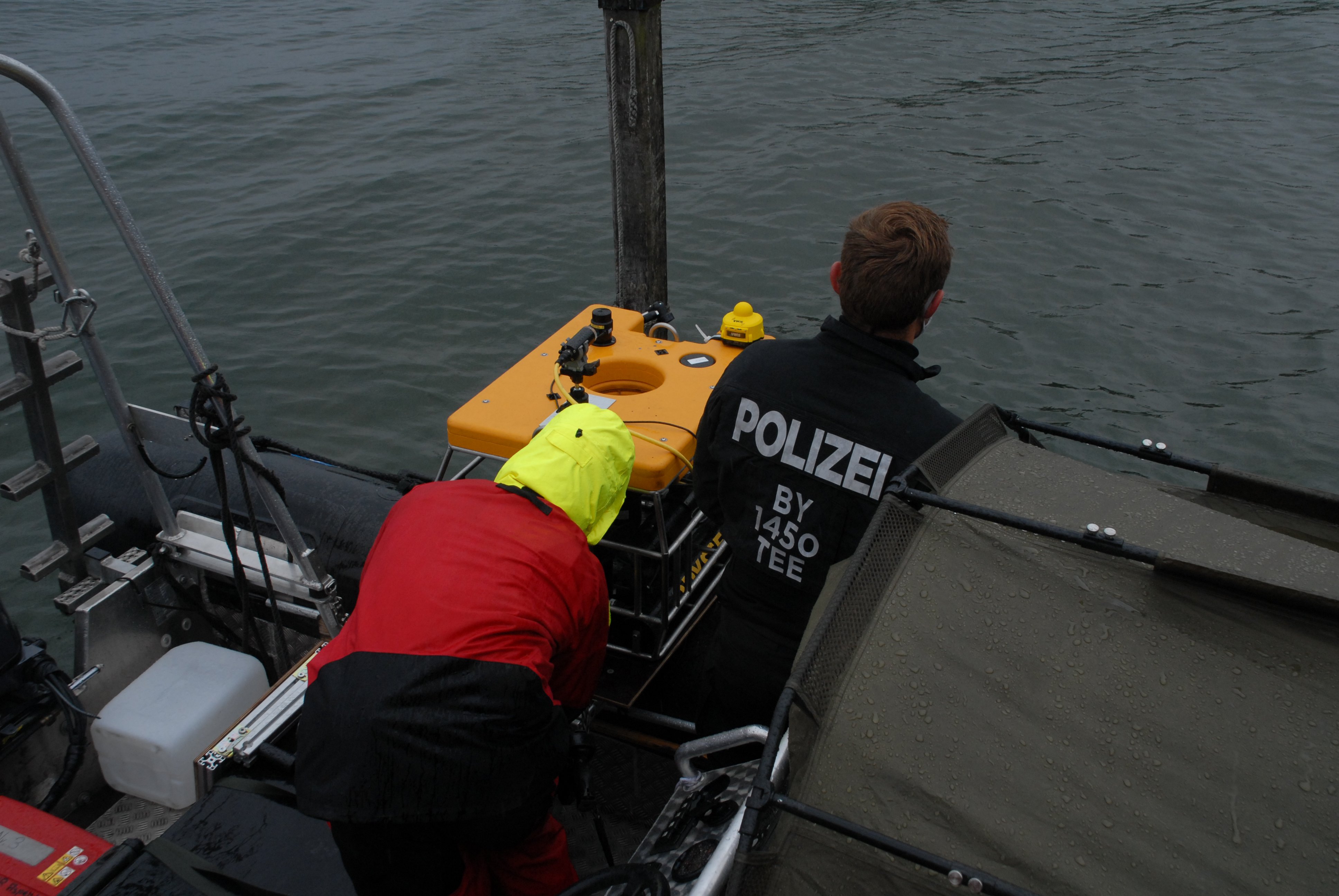
SAR / ROV operations
ROV trials explored positioning, diver cooperation and recorded route review.
Germany and Austria
Read the field case ↗Start with your operation
Tell us about your team, environment and mission.
Let's explore the right UWIS setup together.